Bendemeer
Contenu soumis à la licence CC-BY-SA. Source : Article Bendemeer de Wikipédia en français (auteurs)
Regardez d'autres dictionnaires:
Bendemeer, New South Wales — Infobox Australian Place | type = town name = Bendemeer state = nsw caption = The two bridges across the Macdonald R., Bendemeer, NSW lga = Tamworth Regional Council county = Inglis postcode = 2355 est = pop = 485Census 2006 AUS | id=SSC16227 |… … Wikipedia
Bendemeer Secondary School — Bendemmer Secondary School is a secondary school in Singapore. Established in 1979. Her 1st principal was Madam Rebecca Lee who runs the school very well and lead the school through the next 2 decades. With the assistance of her many capable and… … Wikipedia
Macdonald River (Bendemeer) — There are two rivers named Macdonald River in New South Wales, Australia. See Macdonald River The Macdonald River in New South Wales is the headwater of the Namoi River. It rises in the heights of the Great Dividing Range east of Tamworth and… … Wikipedia
Macdonald River (Namoi River) — Macdonald River Macdonald River oberhalb von WoolbrookVorlage:Infobox Fluss/KARTE fehlt Daten … Deutsch Wikipedia
New England Highway — New England Highway … Wikipedia
Oxley Highway — Route information Length … Wikipedia
Woodsville Interchange — is a road interchange located south of Potong Pasir in Singapore. It links four major roads and an expressway in Singapore: Upper Serangoon Road, Serangoon Road, Bendemeer Road, MacPherson Road and Pan Island Expressway cite press release | title … Wikipedia
Inglis County — Map of all coordinates from Google Map of all coordinates from Bing Export all coordinates as KML … Wikipedia
New England (New South Wales) — New England New South Wales Mount Duval in New England Population … Wikipedia
Manilla, New South Wales — Manilla New South Wales Clock tower in the main street of Manilla … Wikipedia
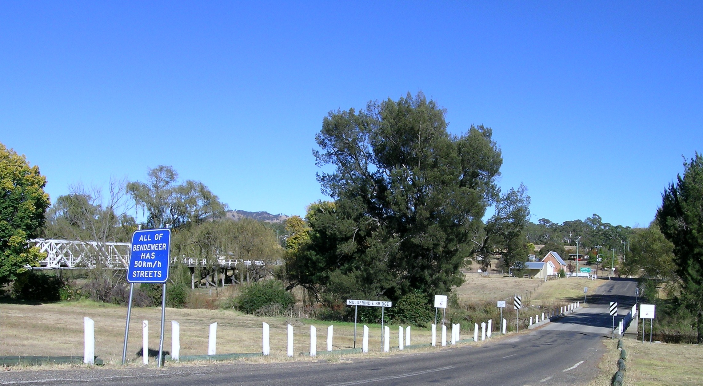
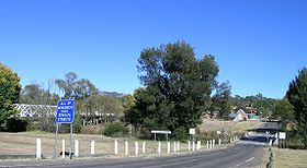 L'entrée du village.
 Australie
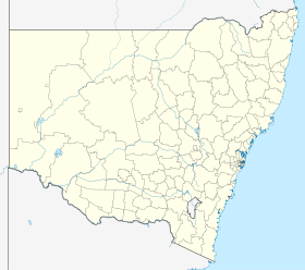
 Bendemeer