Barnawartha
Contenu soumis à la licence CC-BY-SA. Source : Article Barnawartha de Wikipédia en français (auteurs)
Regardez d'autres dictionnaires:
Barnawartha, Victoria — Infobox Australian Place | type = town name = Barnawatha state = vic caption = lga = Shire of Indigo postcode = 3688 est = pop = 1207 (2006)Census 2006 AUS | id = SSC25087 | name = Barnawartha (State Suburb) | accessdate = 2007 10 01 | quick =… … Wikipedia
Barnawartha railway station, Victoria — VictorianClosedRailwayStation NAME= Barnawartha LINE=Albury DISTANCE= PLATFORMS= 1 TRACKS= 2 STATUS=Closed OPENED= CLOSED=1980s |Barnawartha is a closed station located in the town of Barnawartha, on the Albury railway line in Victoria, Australia … Wikipedia
Tallangatta & District Football League — The Tallangatta and District Football League is an Australian rules football competition in the district of north east Victoria and the southern/border region of the New South Wales Riverina.Fact|now|date=September 2008ClubsCurrent**Barnawartha… … Wikipedia
Shire of Chiltern — Infobox Australian Place | type = lga name = Shire of Chiltern state = vic region = area = 501.64 est = 1862 seat = Chiltern pop = 2770 (1992) [cite book|title=Victorian Year Book|author=Australian Bureau of Statistics, Victoria… … Wikipedia
List of localities in Victoria (Australia) — Map of Local Government Areas in Victoria This is a list of locality names and populated place names in the state of Victoria, Australia, outside the Melbourne metropolitan area. It is organised by region from the south west of the state to the… … Wikipedia
City of Wodonga — Victoria Wodonga within Victoria Population … Wikipedia
Koendidda Country House — (Barnawartha,Австралия) Категория отеля … Каталог отелей
Hume Highway — Hume Freeway Proposed … Wikipedia
Murray Valley Highway — Murray Valley Highway … Wikipedia
County of Bogong — Bogong Victoria Location in Victoria Lands administrative divisions around Bogong … Wikipedia
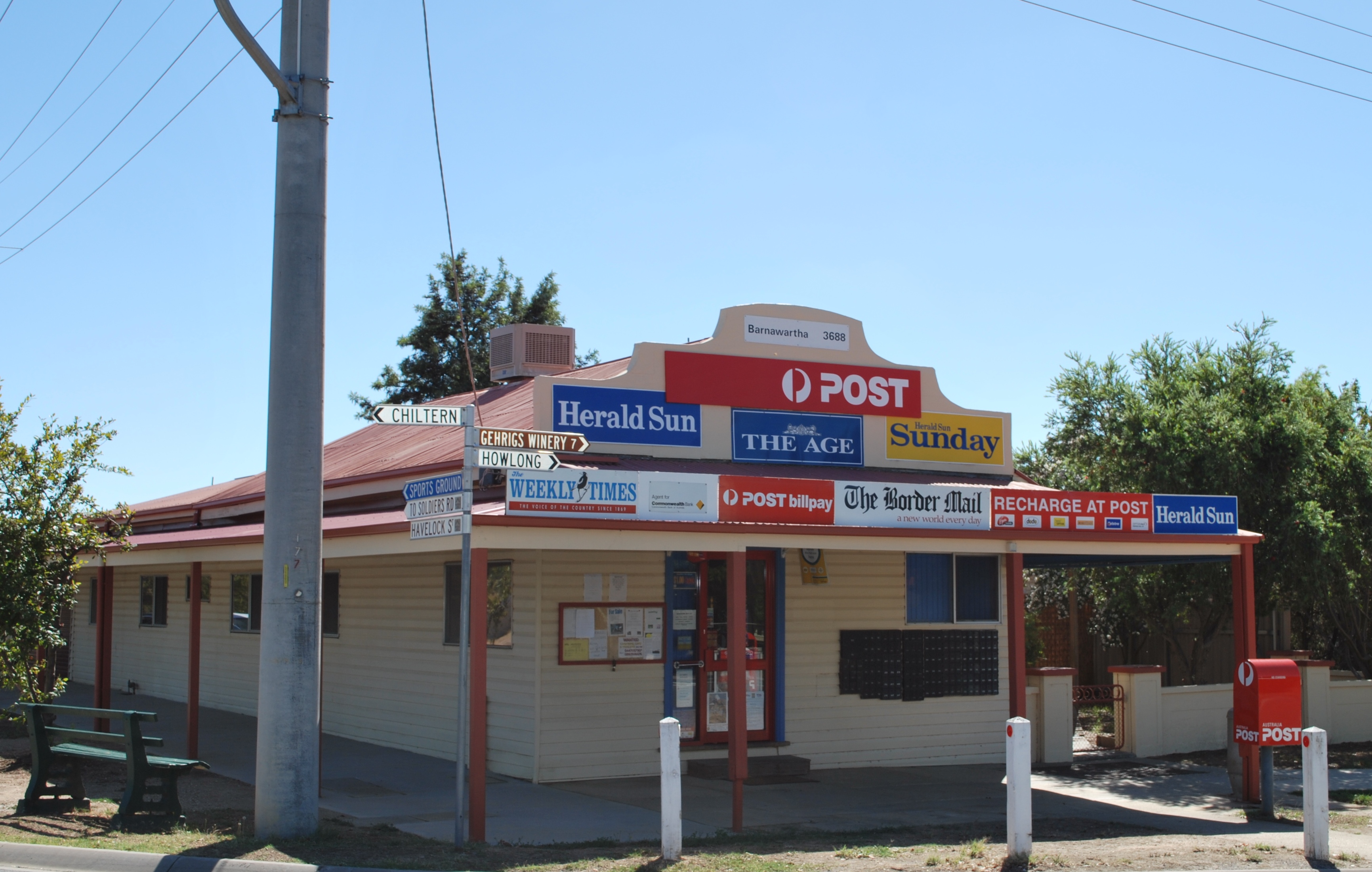
 Le centre ville de Barnawartha
 Australie