Babinda
- Babinda
-
 Pour les articles homonymes
,
voir Mosman.
17° 20′ 42″ S 145° 55′ 30″ E / -17.345, 145.925
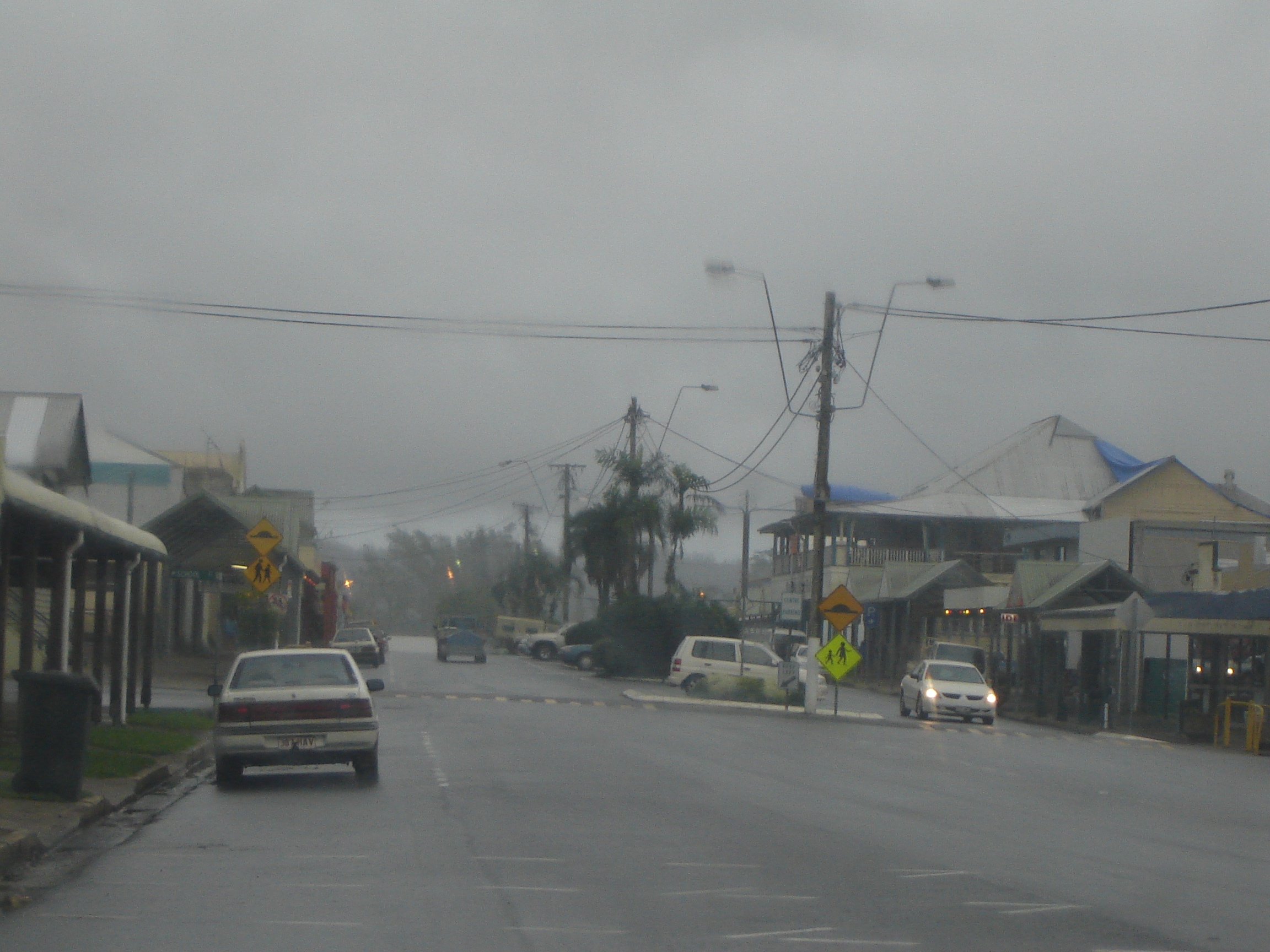
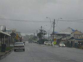
Babinda (1 167 habitants) est un village du Queensland en Australie. Il est situé sur la Bruce Highway, au nord-est de l'État, à 60 km au sud de Cairns, à 1 650 de Brisbane.
Il est situé à proximité des deux monts les plus hauts du Queensland: le mont Bartle Frere (1 622 mètres) et le mont Bellenden Ker (1 593 mètres).
Il détient le record de précipitations pour une ville d'Australie avec 4,2 m en un an.
Références
Wikimedia Foundation.
2010.
Contenu soumis à la licence CC-BY-SA. Source : Article Babinda de Wikipédia en français (auteurs)
Regardez d'autres dictionnaires:
Babinda, Queensland — Infobox Australian Place | type = town name = Babinda state = qld caption = Babinda, taken on a rainy day. lga = Cairns postcode = 4861 est = pop = 1,176 elevation= maxtemp = mintemp = rainfall = stategov = Mulgrave fedgov = Kennedy dist1 = 1649… … Wikipedia
Babinda — /bəˈbɪndə/ (say buh binduh) noun a town in northern Qld in the shire of Mulgrave; a centre for the sugar industry. {Australian Aboriginal; Yidiny binda waterfall} …
Devil's Pool, Australia — Devil s Pool as seen from its lookout Devil s Pool near Babinda in Far North Queensland is known in Aboriginal legend as a cursed place. The dangers are held to be geographical, but local tribespeople and Babinda locals generally believe and… … Wikipedia
Foley Shield — The Foley Shield is a rugby league competition in North Queensland administered by the Queensland Rugby League. Prior to 1948 an inter town competition known as the Carlton Cup was contested in North Queensland. This was revamped, and renamed in… … Wikipedia
Cairns, Queensland — ] timezone = AEST utc = +10 dist1 = 1707 dir1 = NW location1 = Brisbane dist2 = 2420 dir2 = NNW location2 = Sydney lga = Cairns Regional Council region = county = Nares stategov = fedgov = Leichhardt logosize = url = maxtemp = 29.0 mintemp = 20.1 … Wikipedia
Misty Mountains Rainforest Retreat — (Babinda,Австралия) Категория отеля … Каталог отелей
Curse — For other uses, see Curse (disambiguation). A woman makes a cursing ritual ceremony, by Hokusai A curse (also called execration) is any expressed wish that some form of adversity or misfortune will befall or attach to some other entity one or… … Wikipedia
Warren Entsch — Warren George Entsch (born 31 May 1950), Australian politician, has been a Liberal member of the Australian House of Representatives from March 1996 to November 2007, representing the Division of Leichhardt, Queensland. He was born in Babinda,… … Wikipedia
Queensland Rail — Type government owned corporation Industry Rail transport Founded 1865 … Wikipedia
Gordonvale, Queensland — Gordonvale Cairns, Queensland Mulgrave Central Mill and mountains … Wikipedia
 Babinda sous la pluie
 Australie
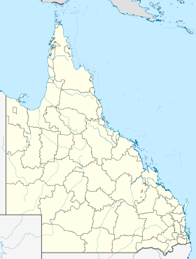
 Babinda