Aïn Sandel
- Aïn Sandel
-
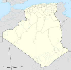
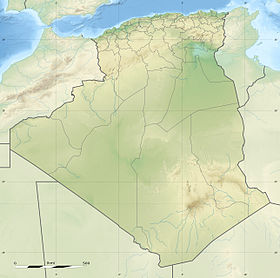
Aïn Sandel est une commune de la wilaya Guelma en Algérie.
Géographie
Cette section est vide,
insuffisamment détaillée ou incomplète.
Votre aide est la bienvenue !
Histoire
Cette section est vide,
insuffisamment détaillée ou incomplète.
Votre aide est la bienvenue !
Notes et références
Wikimedia Foundation.
2010.
Contenu soumis à la licence CC-BY-SA. Source : Article Aïn Sandel de Wikipédia en français (auteurs)
Regardez d'autres dictionnaires:
Communes of Algeria — Algeria This article is part of the series: Politics and government of Algeria Constitution President (List … Wikipedia
Route nationale d'Algérie — Plaque d indication kilometrique sur la RN1 Les routes nationales sont, en Algérie, des voies importantes ou qui relient de grandes agglomérations en traversant plusieurs wilayas d Algérie. Elles sont gratuites et utilisables par tout type de… … Wikipédia en Français
Dahouara — Commune and town Country Algeria Province Guelma Provinc … Wikipedia
Djeballah Khemissi — Commune and town Country Algeria Province Guel … Wikipedia
Medjez Amar — Commune and town Country Algeria Province Guelma Prov … Wikipedia
Medjez Sfa — Commune and town Country Algeria Province Guelma Provi … Wikipedia
Nadorah — Commune and town Country Algeria Province Guelma Province … Wikipedia
Nechmaya — Commune and town Country Algeria Province Guelma Provinc … Wikipedia
Oued Cheham — Commune and town Country Algeria Province Guelma Prov … Wikipedia
Oued Fragha — Commune and town Country Algeria Province Guelma Prov … Wikipedia
 Algérie

