- Atoll Ihavandippolhu
-
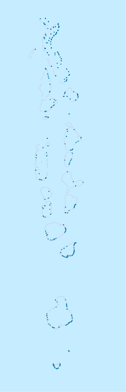
Atoll Ihavandippolhu Géographie Pays  Maldives
Archipel Maldives Localisation Océan Indien Coordonnées Superficie 5,7 km2 Nombre d'îles 23 Géologie Atoll Administration MaldivesProvince Mathi-Uthuru Subdivision Haa Alifu Autres informations Découverte Préhistoire Fuseau horaire UTC+5 Géolocalisation sur la carte : Maldives
 Atoll Ihavandippolhu
Atolls des Maldives L'atoll Ihavandippolhu est un atoll des Maldives. Ses habitants se répartissent sur 7 des 27 îles qui le composent. Les terres émergées représentent 5,7 km2 sur les 289,81 km2 de superficie totale de l'atoll, lagon inclus[1].
Référence
- (en) Abdulla Naseer, « Proceedings of the workshop on coastal area planning and management in Asian ... »
Catégorie :- Atoll des Maldives

Wikimedia Foundation. 2010.