- Uintah (Utah)
-
 Pour les articles homonymes, voir Uinta.
Uintah Administration Pays  États-Unis
État  Utah
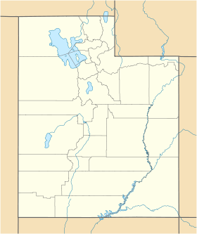
UtahComté Weber Historique Fondation 1850 Démographie Population (2003) 1 205 hab. Densité 463,5 hab./km2 Géographie Coordonnées Superficie totale 2,6 km2 · dont terre 2,6 km2 (100 %) · dont eau 0 km2 (0 %) Fuseau horaire MST (UTC-7) 


Uintah est une ville américaine située dans le comté de Weber, dans l’Utah. Selon le recensement de 2000, sa population s’élève à 1 127 habitants, estimée en 2003 à 1 205 habitants. Densité : 430,8 hab/km² (1 120,4 hab/mi²). Superficie totale : 2,6 km² (1 mi²).
Uintah a été fondée en 1850 sous le nom d’East Weber. La Union Pacific Railroad a nommé une gare toute proche Deseret (un nom qui provient du Livre de Mormon), rebaptisée Uintah en hommage à l’ethnie amérindienne locale. Ce changement s’est appliqué par la suite à East Weber.
À noter
Uintah ne doit pas être confondue avec le comté du même nom situé dans le même État — voir comté de Uintah.
Catégories :- Comté de Weber
- Municipalité de l'Utah


Wikimedia Foundation. 2010.