Uddingston
Contenu soumis à la licence CC-BY-SA. Source : Article Uddingston de Wikipédia en français (auteurs)
Regardez d'autres dictionnaires:
Uddingston — UDDINGSTON, a village, in the parish of Bothwell, Middle ward of the county of Lanark, 1 mile (N. W. by N.) from the village of Bothwell; containing 703 inhabitants. It is situated in the western part of the parish, on the eastern bank of the… … A Topographical dictionary of Scotland
Uddingston — infobox UK place country = Scotland official name=Uddingston gaelic name= scots name= population= os grid reference= map type= latitude=55.81829 longitude= 4.08275 unitary scotland=South Lanarkshire lieutenancy scotland=Lanarkshire constituency… … Wikipedia
Uddingston — Original name in latin Uddingston Name in other language Uddingston State code GB Continent/City Europe/London longitude 55.81971 latitude 4.08362 altitude 47 Population 5609 Date 2011 03 03 … Cities with a population over 1000 database
Uddingston railway station — Infobox UK station name = Uddingston code = UDD caption = manager = First ScotRail locale = Uddingston borough = South Lanarkshire pte = SPT platforms = 2 usage0405 = 0.533 usage0506 = 0.581 original = Clydesdale Junction Railway pregroup =… … Wikipedia
School tie — … Wikipedia
Tannochside — is an area of north Uddingston and is located approximately 8 miles south east of Glasgow, Scotland, UK. Although considered part of Uddingston, it lies within a separate local authority area. Tannochside is contained within the boundaries of… … Wikipedia
Shotts Line — The Shotts Line is a suburban railway line linking Glasgow Central and Edinburgh Waverley via Shotts in Scotland. The route from Glasgow to Shotts is part of the Strathclyde Partnership for Transport network. Between Glasgow Central and… … Wikipedia
List of state schools in Scotland/Council Areas I-R (excluding cities) — The following is a partial list of currently operating state schools in the unitary council area of Inverclyde, Midlothian, Moray, North Ayrshire, North Lanarkshire, Orkney Islands, Perth and Kinross and Renfrewshire in Scotland, United Kingdom.… … Wikipedia
National Cycle Route 74 — runs from Carlisle to Uddingston. Contents 1 Route 1.1 Carlisle to Douglas 1.2 Douglas to Larkhall 1.3 Larkhall to Uddingston … Wikipedia
Paul Hoffmann — Infobox Cricketer nationality = Scottish country = Scotland country abbrev = SCO name = Paul Hoffmann picture = Cricket no pic.png batting style = Right handed batsman bowling style = Right arm medium fast balls = true tests = test runs = test… … Wikipedia
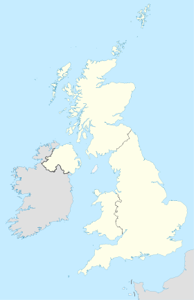
 Royaume-Uni
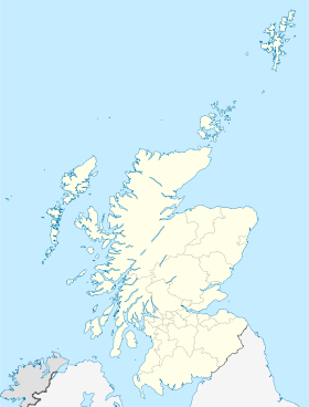
 Uddingston