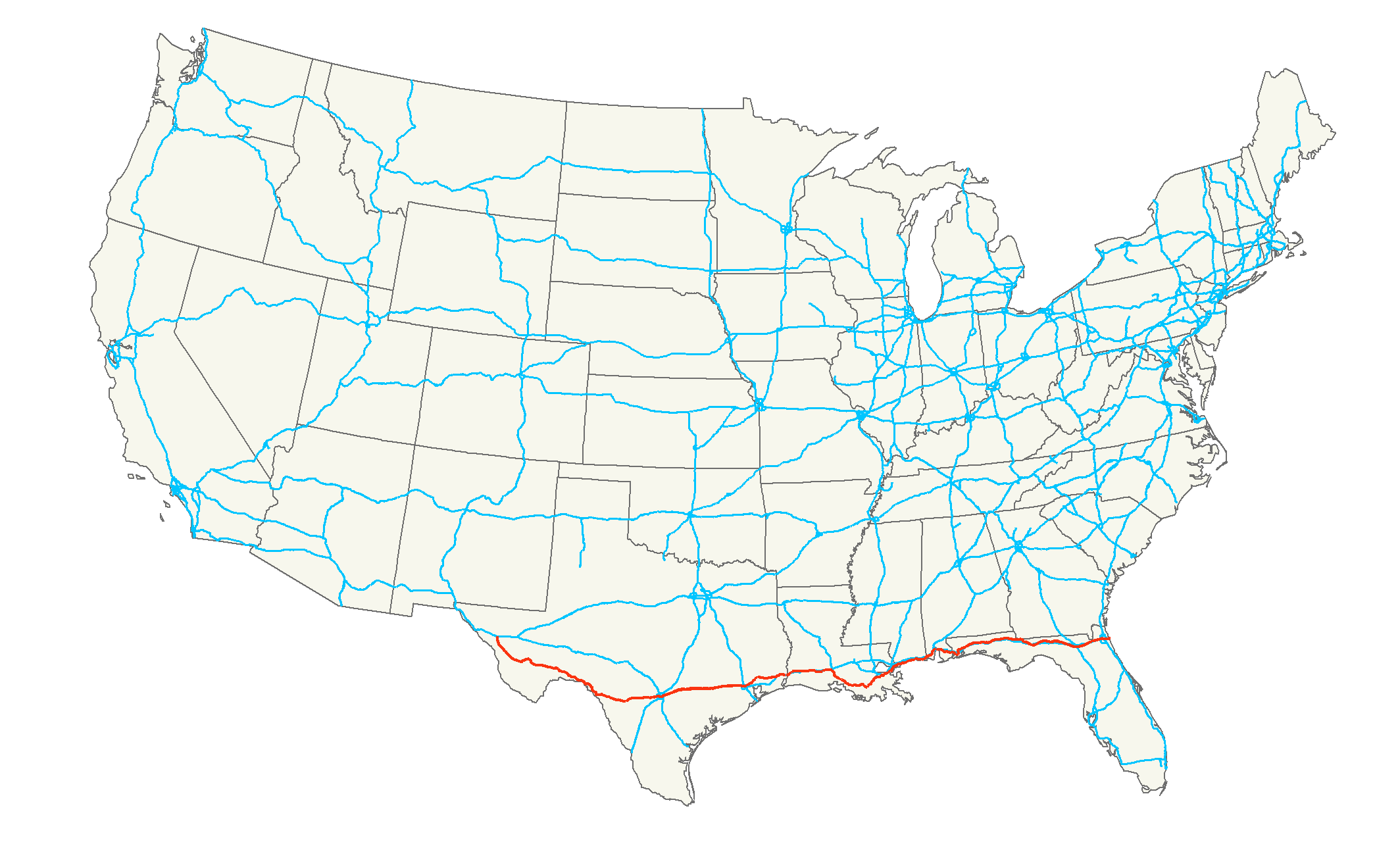
U.S. Route 90
Contenu soumis à la licence CC-BY-SA. Source : Article U.S. Route 90 de Wikipédia en français (auteurs)
Regardez d'autres dictionnaires:
Route 66 — Schild Die Route 66 … Deutsch Wikipedia
Route 158 (Prince Edward Island) — Route 158, officially named Harper Road, and sometimes referred to sectionally as Leoville Road (see below), is a 2 lane collector highway in western Prince County, Prince Edward Island, Canada. It is located 0 mdash;4 miles SW of the community… … Wikipedia
Route summarization — refers to the process of aggregating multiple routes of Internet connected routers, thus saving space in the routing table and speeding up packet routing. An analogy would be on a U.S. interstate highway, where a single sign points in the… … Wikipedia
Route 2, Melbourne — Route 2, or the Yarra Scenic Drive is one of Melbourne s few metropolitan transport routes which is not designed as a convenient route, but a tourist drive following the Yarra River as closely as possible. The route traverses approximately 60km… … Wikipedia
Route 1 (Shuto Expressway) — Route 1 is one of the radial routes of the Shuto Expressway system in the Tokyo area. Route 1 has two segments: a northern segment (known as the Ueno Route) connecting Chūō ku to Taito ku via Ueno; and a southern segment (known as the Haneda… … Wikipedia
Route poisoning — is a way to prevent routing loops. Distance vector routing protocols in computer networks use route poisoning to indicate to other routers that a route is no longer reachable and should be removed from their routing tables. A variation of route… … Wikipedia
Route planning software — is a computer software programme, designed to plan a route between two geographical locations using a journey planning engine, typically specialised for Road networks as a road route planner. Many online mapping sites offer road route planning as … Wikipedia
Route 62 (South Africa) — Route 62 is a major roadway in the Western Cape, South Africa. The route Route 62 is a tourist route that meanders between Cape Town, Oudtshoorn, the Garden Route, and Port Elizabeth, offering the shorter, scenic alternative to the N2 highway.… … Wikipedia
Route nationale 7 — Route 7 near Orly Airport in Paris The Route nationale 7, or RN 7, is a trunk road (nationale) in France between Paris and the border with Italy. It was also known as the Route Bleue and sarcastically, during the annual rush to the Mediterranean… … Wikipedia
Route Twisk — (zh tspcy|t=荃錦公路|s=荃锦公路|p=Quánjǐn gōnglù|cy=chyun4 gam2 gung1 lou6) is a dual lane suburban road in Hong Kong, linking Tsuen Wan and Pat Heung via Shek Kong. It joins Kam Tin Road and Lam Kam Road north in Kam Tin, and ends in the Tsuen Kam… … Wikipedia
Route 864 (Israel) — Route 864 is a north south regional highway in the Galilee in northern Israel. It begins in the south at Rameh junction with Highway 85 and ends in the north at Hosen junction with Highway 89.Description of the route* The route begins in the… … Wikipedia



 à Van Horn (Texas)
 à Houston,
 à la Nouvelle-Orléans,
 à Mobile,
 à Jacksonville Beach