Tyabb (Victoria)
Contenu soumis à la licence CC-BY-SA. Source : Article Tyabb (Victoria) de Wikipédia en français (auteurs)
Regardez d'autres dictionnaires:
Tyabb, Victoria — Infobox Australian Place | type = suburb name = Tyabb city = Melbourne state = vic caption = Tyabb shopping strip at the intersection of Mornington Tyabb Road and Frankston Flinders Road lga = Shire of Mornington Peninsula postcode = 3913 pop =… … Wikipedia
Tyabb railway station, Melbourne — MelbourneRailwayStation1 NAME=Tyabb CODE=TAB DISTANCE=58.6 km LINES=Stony Point PLATFORMS=1 TRACKS=1 STATUS=Unmanned station FACILITIES= TIMETABLES= MELWAY= ZONE=2Tyabb is a railway station in Melbourne, Victoria, Australia, located in the suburb … Wikipedia
List of old road routes in Melbourne, Victoria — This is a list of old road routes in Melbourne, Australia before Victoria switched to the alpha numeric system in the late 1990s. Some routes, in part or in their entirety, may have been made obsolete by the alpha numeric designation: these are… … Wikipedia
Moorooduc, Victoria — Moorooduc Melbourne, Victoria Population: 915 (2006)[1] Postcode: 3933 … Wikipedia
Crib Point, Victoria — Crib Point Melbourne, Victoria Entering Crib Point … Wikipedia
Hastings, Victoria — Infobox Australian Place | type = suburb name = Hastings city = Melbourne state = vic caption = Main street of Hastings lga = Shire of Mornington Peninsula postcode = 3915 pop = 6881 (2006)Census 2006 AUS | id = SSC21323 | name = Hastings (State… … Wikipedia
Somerville, Victoria — Infobox Australian Place | type = suburb name = Somerville city = Melbourne state = vic caption = lga = Shire of Mornington Peninsula postcode = 3912 pop = area = est = propval = $255,000 [ [http://www.domain.com.au/public/suburbprofile.aspx?subur… … Wikipedia
Liste der Orte in Victoria — Dies ist eine Liste der Vororte und Orte von Melbourne und des australischen Bundesstaats Victoria mit ihrem jeweils zugehörigen Postcode (Einige Vororte teilen den gleichen Postcode). Alle Postcodes Victorias beginnen mit 3 . Inhaltsverzeichnis… … Deutsch Wikipedia
Hastings (Victoria) — Pour les articles homonymes, voir Hastings. Hastings Rue principale d Hastings … Wikipédia en Français
Main Ridge, Victoria — Main Ridge Victoria Population: 769[1] Postcode: 3928 … Wikipedia
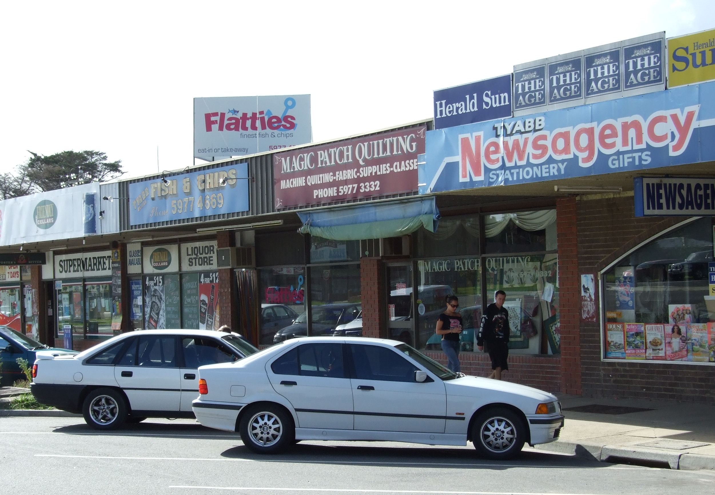
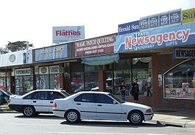 Magasins à Tyabb
 Australie