- Toyokawa
-
Toyokawa-shi (豊川市) 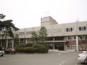
Mairie de ToyokawaAdministration Pays Japon Région Chūbu Préfecture Aichi Code postal 〒442-0068 Maire Minoru Yamawaki Site web Site officiel Démographie Population 181 747 hab. (février 2011) Densité 1 131 hab./km2 Géographie Coordonnées Superficie 160,63 km2 Géolocalisation sur la carte : Japon

Emblème

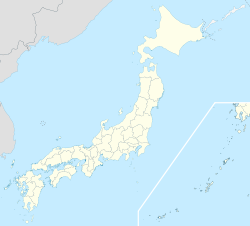
 Toyokawa dans la préfecture d'Aichi
Toyokawa (豊川市, Toyokawa-shi?) est une ville (市, shi) de la préfecture d'Aichi, au Japon. La ville a été fondée le 1er juin 1943. Le 1er février 2006 le bourg d'Ichinomiya (district de Hoi) a été intégré à Toyokawa. Ichinomiya (一宮?) signifie « premier temple de la province » en référence au temple de Toga de l'ancienne province de Mikawa. L'ancien bourg est souvent appelée Mikawa-ichinomiya afin d'éviter la confusion avec la ville d'Ichinomiya, également situé dans la préfecture d'Aichi. La population de la ville est de 181 747 habitants pour une superficie de 160,63 km², soit une densité de 1130 hab./km² (2011).
Les symboles de la ville sont l'azalée et le pin noir du Japon.
Sommaire
Culture
Festival
- Oiden matsuri
- Unagouji matsuri
- Toyokawa-tezutsu matsuri
- Mitama matsuri
Jumelage
 Cupertino (États-Unis) depuis 1978
Personnalités
- Yasunari Kawabata (1899-1972), écrivain.
- Sono Sion (1961-), écrivain, poète, réalisateur et scénariste.
Lien externe
Catégories :- Municipalité de la préfecture d'Aichi
- Ville du Japon


Wikimedia Foundation. 2010.