Tame (Grand Manchester)
Contenu soumis à la licence CC-BY-SA. Source : Article Tame (Grand Manchester) de Wikipédia en français (auteurs)
Regardez d'autres dictionnaires:
Tame (homonymie) — Cette page d’homonymie répertorie les différents sujets et articles partageant un même nom. Tame est la compagnie aérienne de l Équateur. La Tame est une rivière du Black Country, en Angleterre. La Tame est une rivière traversant le comté du… … Wikipédia en Français
Manchester — This article is about the city of Manchester in England. For the wider metropolitan county, see Greater Manchester. For the larger conurbation, see Greater Manchester Urban Area. For other uses, see Manchester (disambiguation). Coordinates … Wikipedia
Denton, Greater Manchester — Coordinates: 53°27′19″N 2°06′44″W / 53.4554°N 2.1122°W / 53.4554; 2.1122 … Wikipedia
Atherton, Greater Manchester — Coordinates: 53°31′23″N 2°29′42″W / 53.523°N 2.495°W / 53.523; 2.495 … Wikipedia
Civil parishes in Greater Manchester — A map of Greater Manchester, with its 15 parished areas highlighted in red. A civil parish is a subnational entity, forming the lowest unit of local government in England. There are 15 civil parishes in the ceremonial county of Greater Manchester … Wikipedia
Ashton-under-Lyne — Ashton under Lyne … Wikipédia en Français
Ashton-Under-Lyne — Ashton under Lyne … Wikipédia en Français
Tameside — 53° 29′ 24″ N 2° 05′ 39″ W / 53.49, 2.09416667 Le Metropolitan Bo … Wikipédia en Français
United Kingdom — a kingdom in NW Europe, consisting of Great Britain and Northern Ireland: formerly comprising Great Britain and Ireland 1801 1922. 58,610,182; 94,242 sq. mi. (244,100 sq. km). Cap.: London. Abbr.: U.K. Official name, United Kingdom of Great… … Universalium
Stalybridge — Coordinates: 53°29′00″N 2°02′24″W / 53.4834°N 2.0400°W / 53.4834; 2.0400 … Wikipedia
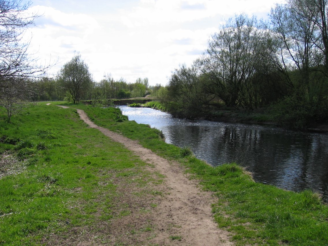
 La rivière Tame.
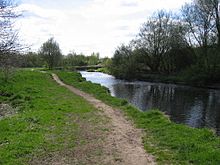