Tahay
Contenu soumis à la licence CC-BY-SA. Source : Article Tahay de Wikipédia en français (auteurs)
Regardez d'autres dictionnaires:
Tahay — (en gaélico escocés: Taghaigh) es una isla, localizada en el gruop de las Hébridas Exteriores, en Escocia. El nombre de la isla procede del antiguo nórdico tagg øy, cuyo significado aproximado isla de colina prominente . Tahay ocupa una… … Wikipedia Español
Tahay — Infobox Scottish island GridReference=NF965755 latitude= 57.67 longitude= 7.09 celtic name=Taghaigh norse name=Tagg øy meaning of name= island with a prominent hill area=53 ha (131 acres) area rank=188= highest elevation=65m (215 ft) Population=0 … Wikipedia
Danlayer — HMS Sir Galahad, a Round Table class trawler displacing 440 long tons, was converted to a danlayer in 1944 and used to support the Normandy landings. A danlayer was a type of vessel assigned to minesweeping flotillas during and immediately after… … Wikipedia
Eilean Siar — Western Isles Na h Eileanan Siar Verwaltungssitz Stornoway Fläche 3.071 km² (7.) … Deutsch Wikipedia
GB-ELS — Western Isles Na h Eileanan Siar Verwaltungssitz Stornoway Fläche 3.071 km² (7.) … Deutsch Wikipedia
Liste britischer Inseln — Lage der Britischen Inseln Diese Liste führt die wichtigsten der etwa 600 Inseln der Britischen Inseln auf. Politisch sind diese Inseln Teil des Vereinigten Königreiches, der Republik Irland und der Isle of Man, die als Kronbesitz kein… … Deutsch Wikipedia
Liste der Britischen Inseln — Lage der Britischen Inseln Diese Liste führt die wichtigsten der etwa 600 Inseln der Britischen Inseln auf. Politisch sind diese Inseln Teil des Vereinigten Königreichs, der Republik Irland und der Isle of Man, die als Kronbesitz kein Bestandteil … Deutsch Wikipedia
Western Isles — Na h Eileanan Siar Verwaltungssitz Stornoway Fläche 3.071 km² (7.) … Deutsch Wikipedia
Äußere Hebriden — Western Isles Na h Eileanan Siar Verwaltungssitz Stornoway Fläche … Deutsch Wikipedia
Hebrides exterieures — Hébrides extérieures Pour les articles homonymes, voir Hébrides (homonymie). Hébrides extérieures Na h Eileanan Siar (gd) … Wikipédia en Français
 Royaume-Uni
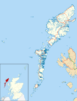
 Tahay
Tahay

