Sudurland
- Sudurland
-
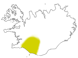
Suðurland
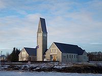
Suðurland est l'une des huit régions de l'Islande. Son siège est Selfoss.
Évolution démographique de la région
| année |
population |
pourcentage de la
population islandaise |
| 1920 |
13.785 |
14,60% |
| 1930 |
13.694 |
12,61% |
| 1940 |
13.555 |
11,15% |
| 1950 |
13.826 |
9,58% |
| 1960 |
16.018 |
8,94% |
| 1970 |
18.052 |
8,82% |
| 1980 |
19.637 |
8,49% |
| 1990 |
20.402 |
7,92% |
| 2000 |
21.119 |
7,41% |
| 2007 |
23.478 |
7,46% |
Principales communes
Municipalités de Suðurland
- Árborg (7.928 habitants),
- Ásahreppur (182 habitants),
- Bláskógabyggð (986 habitants),
- Flóahreppur (592 habitants),
- Grímsnes- og Grafningshreppur (444 habitants),
- Hrunamannahreppur (794 habitants),
- Hveragerði (2.316 habitants),
- Mýrdalshreppur (487 habitants),
- Rangárþing eystra (1.762 habitants),
- Rangárþing ytra (1.610 habitants),
- Skaftárhreppur (466 habitants),
- Skeiða- og Gnúpverjahreppur (516 habitants),
- Ölfus (2.002 habitants),
- Vestmannaeyjar (4.090 habitants)
Comtés de Suðurland
Árnessýsla • Rangárvallasýsla • Vestur-Skaftafellssýsla
|
|
|
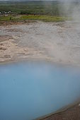
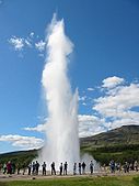
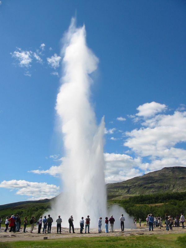
Le bassin de Blesi, à côté du Geysir
|
|
 Portail de l’Islande
Catégorie : Région de l'Islande
Wikimedia Foundation.
2010.
Contenu soumis à la licence CC-BY-SA. Source : Article Sudurland de Wikipédia en français (auteurs)
Regardez d'autres dictionnaires:
Sudurland — Die acht Regionen Islands. Suðurland ist Nr. 8 (gelb) Suðurland ist eine der acht Regionen Islands. Sie liegt im Süden des Landes. Ihr Verwaltungssitz ist Selfoss in der Gemeinde Árborg. Am 1. Dezember 2008 lebten 24.176 Einwohner auf einer… … Deutsch Wikipedia
Suourland — Die acht Regionen Islands. Suðurland ist Nr. 8 (gelb) Suðurland ist eine der acht Regionen Islands. Sie liegt im Süden des Landes. Ihr Verwaltungssitz ist Selfoss in der Gemeinde Árborg. Am 1. Dezember 2008 lebten 24.176 Einwohner auf einer… … Deutsch Wikipedia
Liste bedeutender Seeunfälle 1950 bis 1999 — Die Liste bedeutender Seeunfälle 1950 bis 1999 enthält Unfälle der Seeschifffahrt in der Zeit von 1950 bis 1999, bei denen es zum Verlust von Menschenleben kam oder hoher Sachschaden entstanden ist, in chronologischer Abfolge. Inhaltsverzeichnis… … Deutsch Wikipedia
Geysir — (sometimes known as The Great Geysir), in the Haukadalur valley, Iceland, is the oldest known geyser and one of the world s most impressive examples of the phenomenon. The English word geyser to describe a spouting hot spring derives from Geysir… … Wikipedia
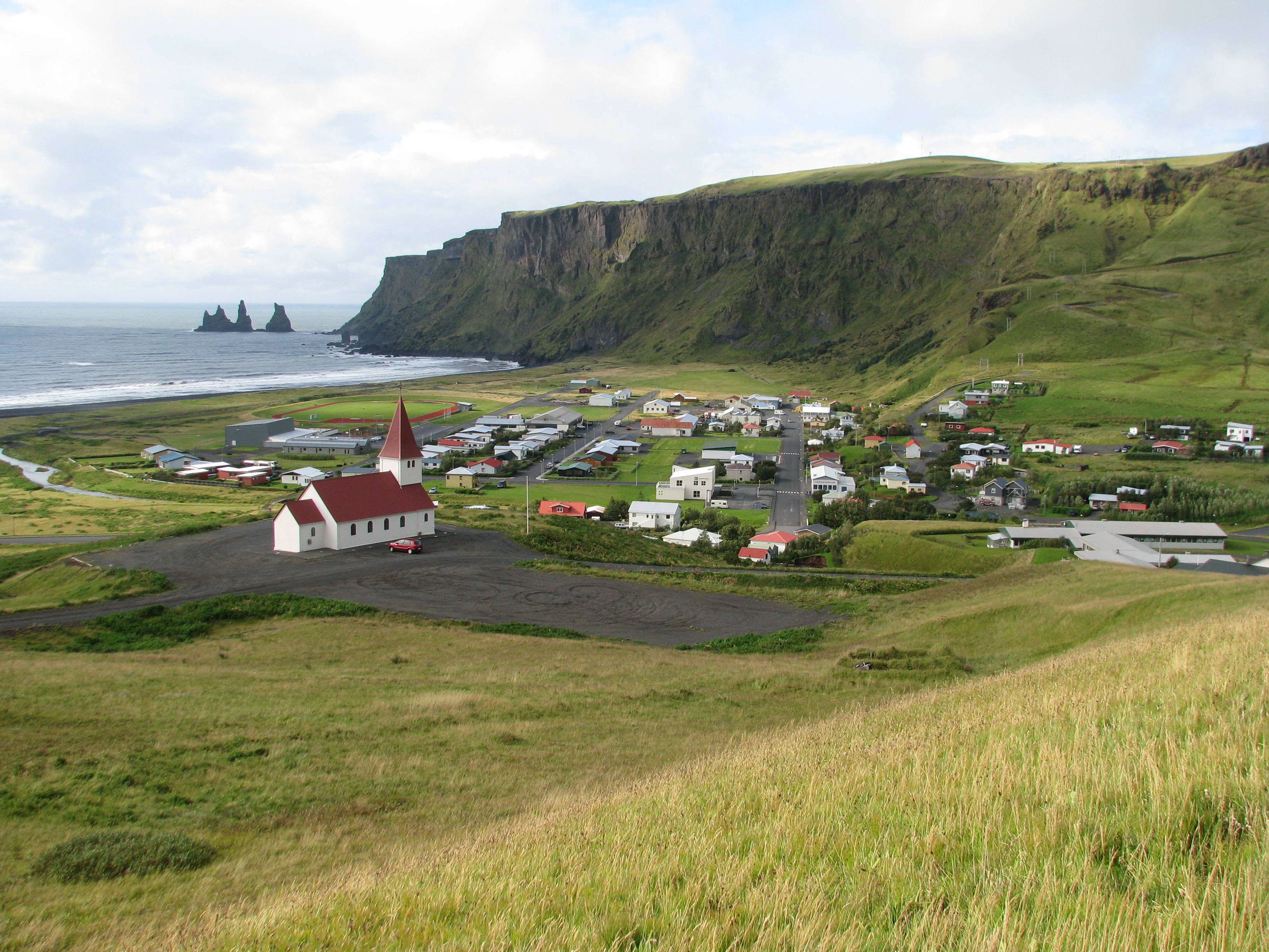
Vestmannaeyjar — Vestmannaeyjar, IcelandCliffs of Heimaey Location of Vestmannaeyjar in Iceland (lower left)CountyVestmannaeyjarConstituencySouthArea 16.3 km² (6.3 sq mi) Population Total (2008) Density 4038 … Wikipedia
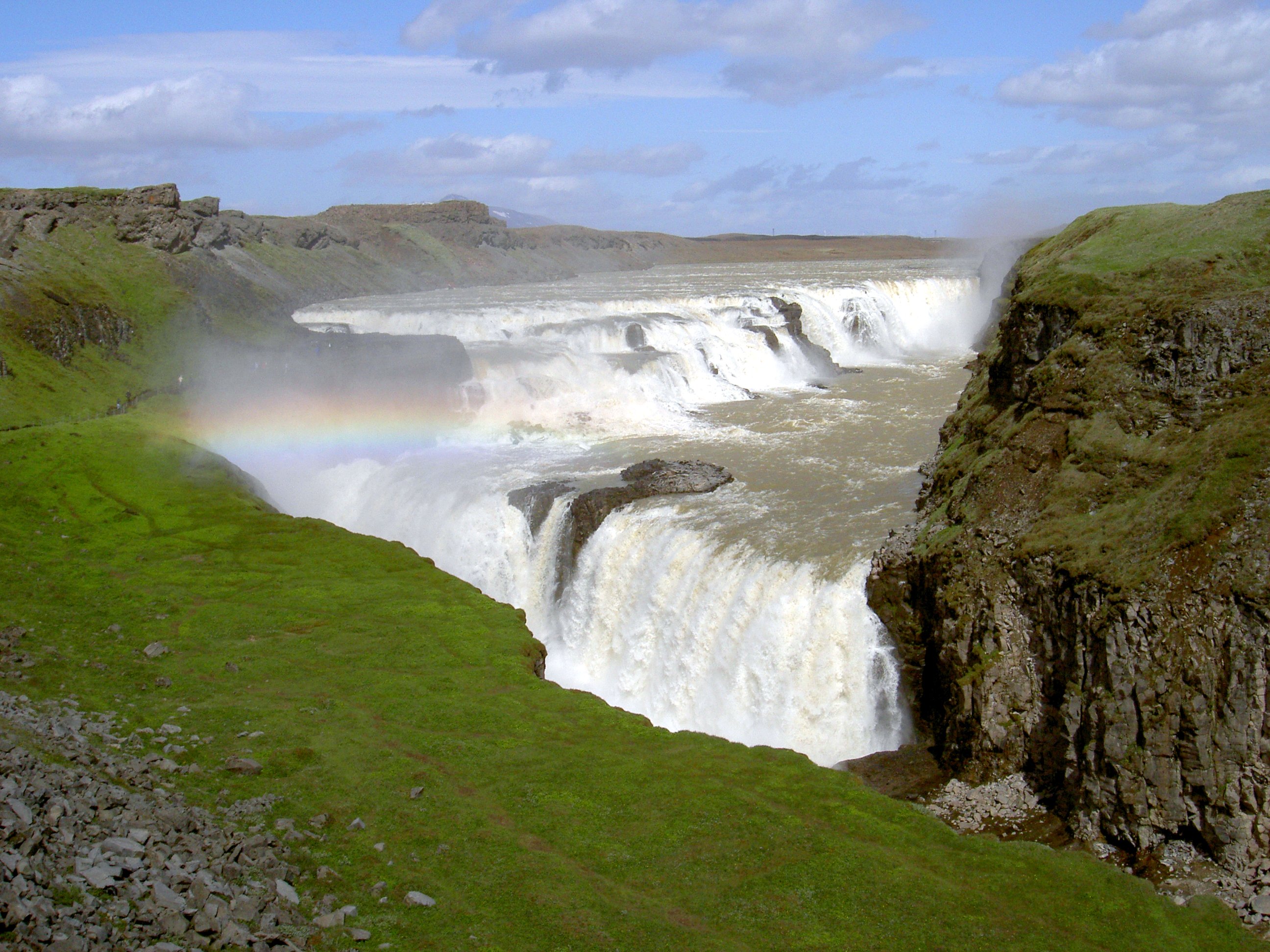
Gullfoss — (English: Golden Falls) is a waterfall located in the canyon of Hvítá river in southwest Iceland.Gullfoss is one of the most popular tourist attractions in the country. The wide Hvítá rushes southward. About a kilometer above the falls it turns… … Wikipedia
Skaftafell National Park — Infobox protected area | name = Skaftafell National Park iucn category = II base width=200px caption = View east from the campsite towards Öræfajökull. locator x = locator y = location = Southern Iceland nearest city = lat degrees = lat minutes … Wikipedia
Þingvellir — Infobox World Heritage Site WHS = Þingvellir National Park State Party = ISL Type = Cultural Criteria = iii, vi ID = 1152 Region = Europe and North America Year = 2004 Session = 28th Link = http://whc.unesco.org/en/list/1152 is. Þingvellir ( is.… … Wikipedia
Hvannadalshnúkur — Infobox Mountain Name = Hvannadalshnúkur Photo = Hvannadalshnjúkur.jpg Photo size = 250px Caption = pushpin pushpin label position = top pushpin map caption = pushpin mapsize = coordinates ref= latd=64 |latm=00 |lats=00 |latNS=N longd=16… … Wikipedia
Gjáin — Like the Háifoss, the small valley Gjáin with its small waterfalls, ponds, and volcanic structures is situated in the south of Iceland. It is to be found at about half an hour walking distance from the historical farm Stöng . The volcano Hekla… … Wikipedia