Stanislawow Voivodship
- Stanislawow Voivodship
-
Voïvodie de Stanisławów
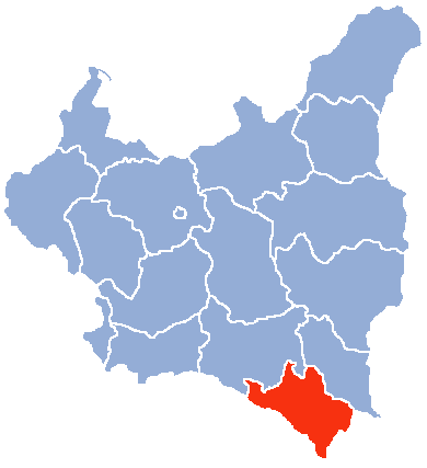
La Voïvodie de Stanisławów était une voïvodie de Pologne de 1920 à 1939
Voir aussi
Liens externes
 Portail de la Pologne
 Portail de l’Ukraine
Catégories : Voïvodie de Pologne | Histoire de l'Ukraine
Wikimedia Foundation.
2010.
Contenu soumis à la licence CC-BY-SA. Source : Article Stanislawow Voivodship de Wikipédia en français (auteurs)
Regardez d'autres dictionnaires:
Ivano-Frankivsk — Infobox Settlement official name = Ivano Frankivs k native name = Івано Франківськ imagesize = 250px image caption = Ivano Frankivsk old town image shield = Ivano Frankivsk Coat of Arms.gif nickname = motto = mapsize = 250px map caption = Map of… … Wikipedia
Kolomyia — Kolomyya Коломия City Hall in Kolomyya City Hall in Kolomyya Coat of arms of Kolomyya Coat of arms … Wikipedia
Ivano-Frankivsk Oblast — Infobox Ukrainian oblast Name = Ivano Frankivsk Oblast UkrainianName = Івано Франківська область TransliteratedName = Ivano Frankivs’ka oblast’ Nickname = Івано Франківщинаspaces|2(Ukrainian) Ivano Frankivshchyna spaces|2(transliteration) Ukraine … Wikipedia
Kosiv — ( ua. Косiв , Polish: Kosów , Romanian: Cosău ) is a city located in the Ivano Frankivsk Oblast, in western Ukraine. It is the administrative center of the Kosivsky Raion (district).Initially a small Hutsul settlement with a remnants of a small… … Wikipedia
Hotin County — ). GeographyHotin County covered 3,782 km2 and was located in northeast part of Greater Romania, in the northern part of Bessarabia on the border with the Soviet Union. Currently, the territory that comprised Hotin County is divided between the… … Wikipedia
Cernăuţi County — Judeţul Cernăuţi County (Judeţ) Coat of arms … Wikipedia
Storojineţ County — Infobox Settlement official name = Judeţul Storojineţ other name = settlement type = County ( Judeţ ) image caption = flag link = image shield = Interbelic Storojinet County CoA.png shield link = map caption = subdivision type = Country… … Wikipedia
Dovhyi Voinyliv — Dovhyĭ Voĭnyliv Village … Wikipedia
Voivodeship — This article concerns both historical and contemporary voivodeships in various countries. For more on the divisions of modern and historical Poland, see Voivodeships of Poland. A voivodeship, also spelled voivodship, voivodina or vojvodina… … Wikipedia
Polish areas annexed by the Soviet Union — After the Soviet invasion of Poland following the corresponding German invasion that marked the start of World War II in 1939, the Soviet Union annexed eastern parts (so called Kresy ) of the Second Polish Republic, totaling 201,015 km² and a… … Wikipedia
 Voïvodie de Stanisławów