Schagerbrug
Contenu soumis à la licence CC-BY-SA. Source : Article Schagerbrug de Wikipédia en français (auteurs)
Regardez d'autres dictionnaires:
Schagerbrug — ist ein Dorf in der Gemeinde Zijpe, in der niederländischen Provinz Nordholland. Hier steht das Gemeindeamt und deshalb ist Schagerburg der Hauptort der Gemeinde. Es ist nach der Trockenlegung der Zijpe entstanden. 52.8015534.760694 Koordinaten:… … Deutsch Wikipedia
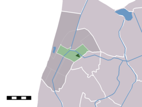
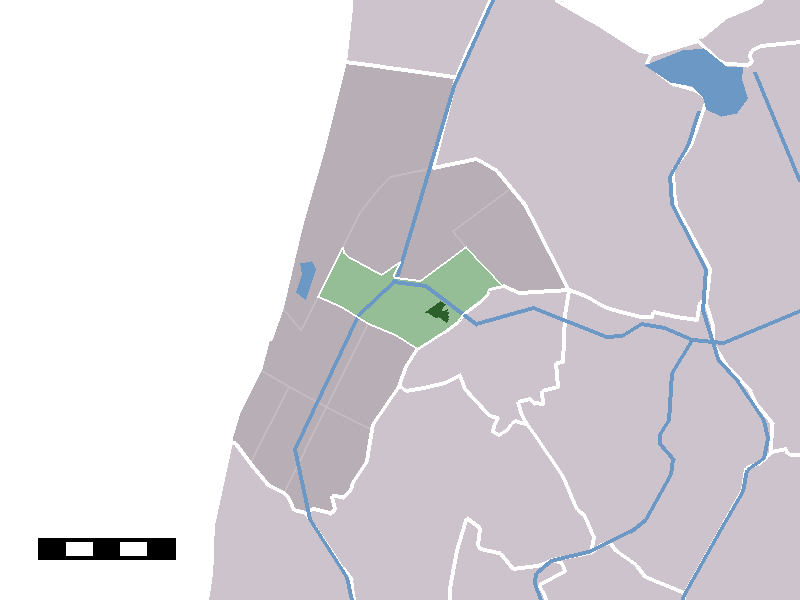
Schagerbrug — Dutch town locator maps mun town caption = The town centre (darkgreen) and the statistical district (lightgreen) of Schagerbrug in the municipality of Zijpe.Schagerbrug (coord|52|48|N|4|46|E|type:city(1097)) is a town in the Dutch province of… … Wikipedia
Schagerbrug — Sp Schãgerbriugas Ap Schagerbrug L Nyderlandai … Pasaulio vietovardžiai. Internetinė duomenų bazė
Schagerbrug — Sp Schãgerbriugas Ap Schagerbrug L Olandija … Pasaulio vietovardžiai. Internetinė duomenų bazė
Zijpe — Gemeinde Zijpe Flagge Wappen Provinz Nordholland Bürgermeister … Deutsch Wikipedia
B&B "De Overnachting" — (Schagerbrug,Нидерланды) Категория отеля: Адрес: Schagerweg 35, 1751 CA Schag … Каталог отелей
De Stolpen — Coordinates: 52°48′44″N 4°43′47″E / … Wikipedia
List of windmills in Noord Holland — A list of windmills in the Dutch province of Noord Holland.{| class= wikitable ! Location! Name of mill! Type! Built! Notes! Photograph Aalsmeer De Leeuw Stellingmolen 1863 [http://www.molendatabase.nl/nederland/molen.php?nummer=621… … Wikipedia
Stolpervlotbrug — 52°48′26″N 4°44′37″E / 52.80722, 4.74361 … Wikipédia en Français
Zijpe — Héraldique … Wikipédia en Français
 Pays-Bas