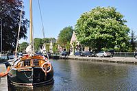
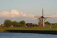
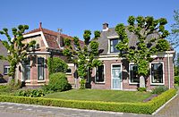
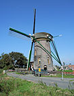
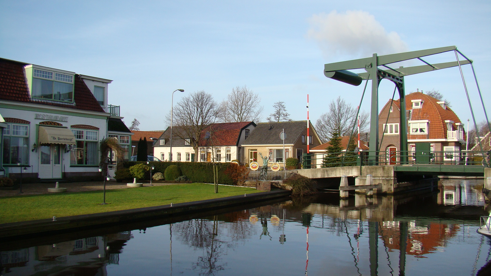
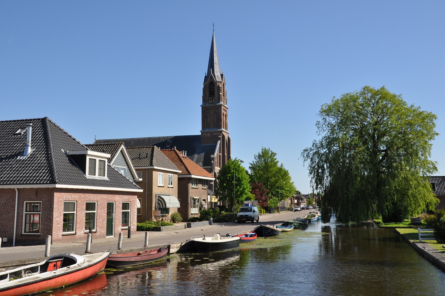
Rijpwetering
Contenu soumis à la licence CC-BY-SA. Source : Article Rijpwetering de Wikipédia en français (auteurs)
Regardez d'autres dictionnaires:
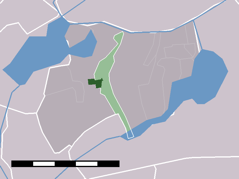
Rijpwetering — Dutch town locator maps mun town caption = The town centre (darkgreen) and the statistical district (lightgreen) of Rijpwetering in the municipality of Alkemade.Rijpwetering is a town in the Dutch province of South Holland. It is a part of the… … Wikipedia
Roelofarendsveeen — Alkemade ( anhören?/i) ist eine ehemalige Gemeinde in der Provinz Südholland in den Niederlanden. Seit dem 1. Januar 2009 gehört Alkemade zusammen mit Jacobswoude zur neuen Gemeinde Kaag en Braassem. Inhaltsverzeichnis 1 Orte 2 Wirtschaft … Deutsch Wikipedia
Alkemade — Flagge Wappen Provinz Südholland Gemeinde … Deutsch Wikipedia
Plattelandappartementen — (Rijpwetering,Нидерланды) Категория отеля: Адрес: Pastoor van der Plaatstraat 30, 237 … Каталог отелей
Zoetemelk — Joop Zoetemelk (* 3. Dezember 1946 in Rijpwetering, Gemeinde Alkemade in der Nähe von Leiden; bürgerlich Hendrik Gerardus Joseph Zoetemelk) ist der erfolgreichste niederländische Radrennfahrer und war einer der besten Radprofis der 70er und 80er… … Deutsch Wikipedia
Alkemade — Infobox Settlement official name = Alkemade flag size = 120x100px image shield = Coat of arms of Alkemade.gif shield size = 120x100px mapsize = 280px subdivision type = Country subdivision name = Netherlands subdivision type1 = Province… … Wikipedia
Kinderdijk — Coordinates: 51°53′N 4°38′E / 51.883°N 4.633°E / 51.883; 4.633 … Wikipedia
List of places in the Netherlands — This is an alphabetical list of places (cities, towns, villages) in the Netherlands. Lists per province can be found at:* List of towns in Groningen * List of towns in Friesland * List of towns in Drente * List of towns in Overijssel * List of… … Wikipedia
De Adriaan, Haarlem — Windmill De Adriaan De Adriaan is a windmill in the Netherlands that burnt down in 1932 and was rebuilt in 2002. The original windmill dates from 1779 and the mill has been a distinctive part of the skyline of Haarlem for centuries. Contents … Wikipedia
Joop Zoetemelk — Infobox Cyclist ridername = Joop Zoetemelk image caption = fullname = Hendrik Gerardus Jozef Zoetemelk nickname = De Eeuwige Tweede De Wieltjeszuiger dateofbirth = birth date and age|1946|12|3 country = The Netherlands currentteam = Retired… … Wikipedia
 Pays-Bas