Prevalac
- Prevalac
-
Prevalac (en serbe cyrillique : Превалац) est un village de Serbie situé sur le territoire de la Ville de Vranje, district de Pčinja. En 2002, il comptait 153 habitants[1], tous serbes[2].
Démographie
Évolution démographique
| 1948 |
1953 |
1961 |
1971 |
1981 |
1991 |
2002 |
| 179 |
160 |
161 |
140 |
142 |
151 |
153[1] |
Notes et références
- ↑ a et b (sr) Livre 9, Population, analyse comparative de la population en 1948, 1953, 1961, 1971, 1981, 1991 et 2002, données par localités, Institut de statistique de la République de Serbie, Belgrade, mai 2004 (ISBN 86-84433-14-9)
- ↑ (sr) Livre 1, Population, origine nationale ou ethnique, données par localités, Institut de statistique de la République de Serbie, Belgrade, février 2003 (ISBN 86-84433-00-9)
Voir aussi
Articles connexes
Liens externes
Wikimedia Foundation.
2010.
Contenu soumis à la licence CC-BY-SA. Source : Article Prevalac de Wikipédia en français (auteurs)
Regardez d'autres dictionnaires:
Vranje — Врање Héraldique … Wikipédia en Français
Vranje — Infobox Serbia municipality native name = Врање|official name=Vranje image shield = Vranje.jpg district = Pčinja mayor = Miroljub Stojčić (SPS) area km2 = 860 population total = 55052 | mpop=87288 latd = 42| latm = 33|longd = 21| longm = 54 code … Wikipedia
Štrpce — Infobox Settlement official name = Štrpce / Штрпце Stërpcë / Stërpca area km2 = elevation m = population total = 12,712 (municipality) population as of = 1991 population density km2 = latd=42 |latm=14 |lats=05 |latNS=N longd=21 |longm=01… … Wikipedia
List of cities, towns and villages in Serbia — This is the complete list of settlements in Serbia without Kosovo, as recorded by 2002 census, sorted by municipalities. Settlements denoted as urban (towns and cities) are marked bold. Population for every settlement is given in brackets. The… … Wikipedia
List of settlements in Serbia (alphabetic) — This is the complete list of settlements in Serbia without Kosovo, as recorded by 2002 census, in alphabetic order. Settlements denoted as urban (towns and cities) are marked bold. Population for every settlement is given in brackets. The same… … Wikipedia
Geography of Kosovo — Kosovo Continent Europe Subregion … Wikipedia
Geographie Kosovos — Topographische Karte des Kosovos Das Kosovo liegt in Südosteuropa im zentralen Teil der Balkanhalbinsel. Es grenzt im Norden und Nordosten an Serbien, im Südosten an Mazedonien, im Südwesten an Albanien und im Westen an Montenegro. Kosovo hat… … Deutsch Wikipedia
Aleksandrovac (Vranje) — Pour les articles homonymes, voir Aleksandrovac (homonymie). Aleksandrovac Александровац Administration … Wikipédia en Français
Babina Poljana (Vranje) — Ne doit pas être confondu avec Babina Poljana (Trgovište). Pour les articles homonymes, voir Babina. Babina Poljana … Wikipédia en Français
Barbarusince — Barbarušince Barbarušince Барбарушинце [[Image:|100px|center|Blason]] [[Image:|100px|center|Drapaeau]] Héraldique Drapeau … Wikipédia en Français
 Serbie
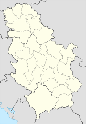
 Prevalac