Overseas Highway
Contenu soumis à la licence CC-BY-SA. Source : Article Overseas Highway de Wikipédia en français (auteurs)
Regardez d'autres dictionnaires:
Overseas Highway — traversing the Seven Mile Bridge Carries US 1 … Wikipedia
Overseas Highway — Eine neue Brücke (links) und die alte Brücke (rechts) am „Channel five“ zwischen Craig Key und Long Key … Deutsch Wikipedia
Overseas Railroad — Overseas Highway and Railway Bridges U.S. National Register of Historic Places … Wikipedia
Highway 1 (Australia) — Map of Australia s Highway 1 Australia s Highway 1 is a network of highways that circumnavigate the Australian continent, joining all mainland state capitals. At a total length of approximately 14,500 km (9,000 mi) it is the longest… … Wikipedia
U.S. Highway 1 — Karte … Deutsch Wikipedia
Lincoln Highway — For the Australian highway, see Lincoln Highway (Australia). Lincoln Highway … Wikipedia
New Zealand State Highway network — The New Zealand State Highway Shield. The New Zealand State Highway network is the major national highway network in New Zealand. Just under 100 roads in both the North and South Islands are State Highways. All state highways are administered by… … Wikipedia
Great Northern Highway — Infobox Australian Road road name = Great Northern Highway route route route photo = caption = length = 3204 direction = Southwest Northeast start = finish = Harbour Road, Wyndham, Western Australia est = through = The Vines, Muchea, Bindoon, New … Wikipedia
National Highway Traffic Safety Administration — logo The National Highway Traffic Safety Administration (NHTSA, pronounced nit suh ) is an agency of the Executive Branch of the U.S. government, part of the Department of Transportation. It describes its mission as “Save lives, prevent injuries … Wikipedia
Trans-Kalahari Highway — ▪ 1999 In March 1998 the residents of Botswana and Namibia met at Buitepos on the border between the two countries to inaugurate formally the Trans Kalahari Highway. The new road formed part of the strategic coast to coast route that linked … Universalium
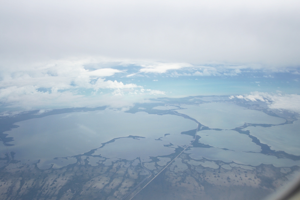
 Vue aérienne d'une partie de l'Overseas Highway.
 Portail de la route
 Portail du monde maritime
 Portail de la Floride