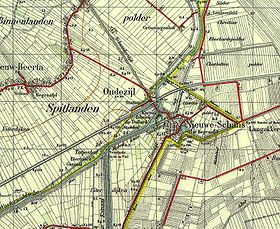
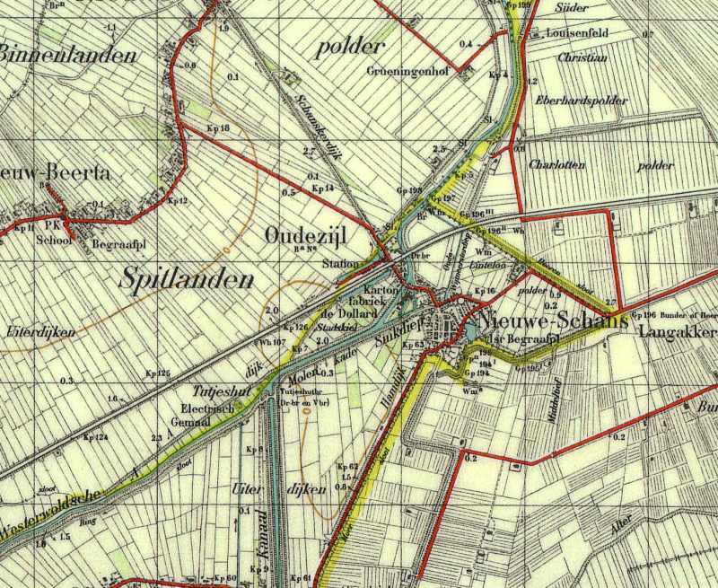
Oudezijl
Contenu soumis à la licence CC-BY-SA. Source : Article Oudezijl de Wikipédia en français (auteurs)
Regardez d'autres dictionnaires:
Reiderland — Infobox Settlement official name = Reiderland mapsize = 280px subdivision type = Country subdivision name = Netherlands subdivision type1 = Province subdivision name1 = Groningen area footnotes = (2006) area total km2 = 156.72 area land km2 =… … Wikipedia
List of places in the Netherlands — This is an alphabetical list of places (cities, towns, villages) in the Netherlands. Lists per province can be found at:* List of towns in Groningen * List of towns in Friesland * List of towns in Drente * List of towns in Overijssel * List of… … Wikipedia
't Waar — 53°13′31″N 6°57′7″E / 53.22528, 6.95194 … Wikipédia en Français
Bad Nieuweschans — 53°12′22″N 7°10′51″E / 53.20611, 7.18083 … Wikipédia en Français
Beersterhoogen — 53° 10′ 59″ N 7° 08′ 06″ E / 53.1831, 7.135 … Wikipédia en Français
Beerta — 53°10′26″N 7°5′42″E / 53.17389, 7.095 … Wikipédia en Français
Booneschans — 53° 10′ 13″ N 7° 11′ 30″ E / 53.1703, 7.19167 … Wikipédia en Français
Drieborg — 53°12′22″N 7°10′51″E / 53.20611, 7.18083 … Wikipédia en Français
Ekamp — 53° 10′ 30″ N 7° 03′ 58″ E / 53.175, 7.06611 … Wikipédia en Français
Finsterwolde — 53°11′53″N 7°5′1″E / 53.19806, 7.08361 … Wikipédia en Français
 Pays-Bas