- Odkarspitze central
-
Ödkarspitze central
Ödkarspitze central 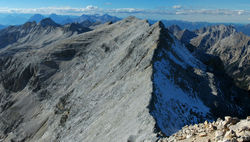
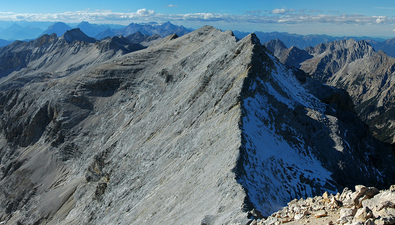
L'Ödkarspitze depuis le BirkkarspitzeGéographie Altitude 2 745 m Massif Karwendel Longueur km Largeur km Superficie km2 Coordonnées Administration Pays  Autriche
Land Tyrol District Innsbruck-Land Ascension Première 6 juillet 1870, par Hermann von Barth Voie la plus facile depuis Scharnitz Géologie Âge Roches Géolocalisation sur la carte : Autriche 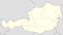

modifier 
L'Ödkarspitze central (ou Mittlere Ödkarspitze) est un sommet des Alpes, à 2 745 m d'altitude, dans le massif des Karwendel, et précisément du chaînon de Hinterautal-Vomper, en Autriche (Tyrol).
 Portail de la montagne
 Portail de l’Autriche
Catégories : Sommet des Alpes autrichiennes | Montagne du Tyrol

Wikimedia Foundation. 2010.