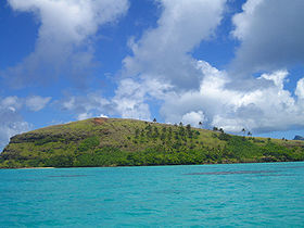
Mekiro
Contenu soumis à la licence CC-BY-SA. Source : Article Mekiro de Wikipédia en français (auteurs)
Regardez d'autres dictionnaires:
Mekiro — von Osten aus gesehen Gewässer Pazifischer Ozean Inselgruppe … Deutsch Wikipedia
Gambier-Inseln — Lage; auf der Karte sind die Gambierinseln unten rechts abgebildet Die Gambierinseln (anderer Name Mangarevainseln) sind ein 43 Inseln umfassender Archipel östlich des 140. Längengrades im Südpazifik, etwa 1.800 Kilometer südöstlich von Tahiti.… … Deutsch Wikipedia
Mangarevainseln — Lage; auf der Karte sind die Gambierinseln unten rechts abgebildet Die Gambierinseln (anderer Name Mangarevainseln) sind ein 43 Inseln umfassender Archipel östlich des 140. Längengrades im Südpazifik, etwa 1.800 Kilometer südöstlich von Tahiti.… … Deutsch Wikipedia
Akamaru — Vue d Akamaru depuis Mangareva Géographie Pays … Wikipédia en Français
List of islands of France — This is a list of islands of metropolitan France and French oversea islands.Ranking of French islands By area All French islands over 100 km², ranked by decreasing area. By population List of the most populated French islands.Islands of… … Wikipedia
Tuamotus — Native name: Tuamotu Flag of the Tuamotu Islands … Wikipedia
Gambier Islands — Infobox Islands name = Gambier Islands image caption = Flag of the Gambier Islands image size = 150px locator native name = Îles Gambier native name link = French language nickname = location = Pacific Ocean coordinates = archipelago = Polynesia… … Wikipedia
Akamaru Island — Akamaru is the third largest island in the Gambier Islands of French Polynesia, at approximately 2.6 km² (1 sq. mile). The island is located approximately 8 km (5 miles) southeast of Mangareva, at coord|23|10|52|S|134|54|56|W|.The much smaller… … Wikipedia
Akamaru — Gewässer Pazifischer Ozean Inselgruppe Gambierinseln … Deutsch Wikipedia
Gambierinseln — NASA Bild der Gambierinseln Gewässer Pazifischer Ozean Archipel Tuamotu A … Deutsch Wikipedia
 France
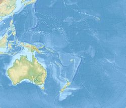
 Mekiro
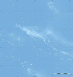
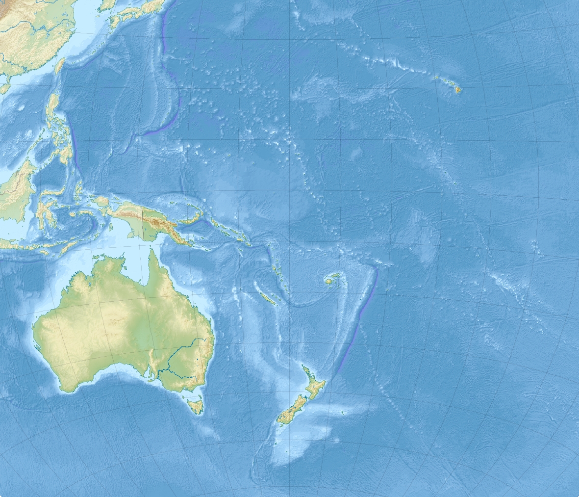
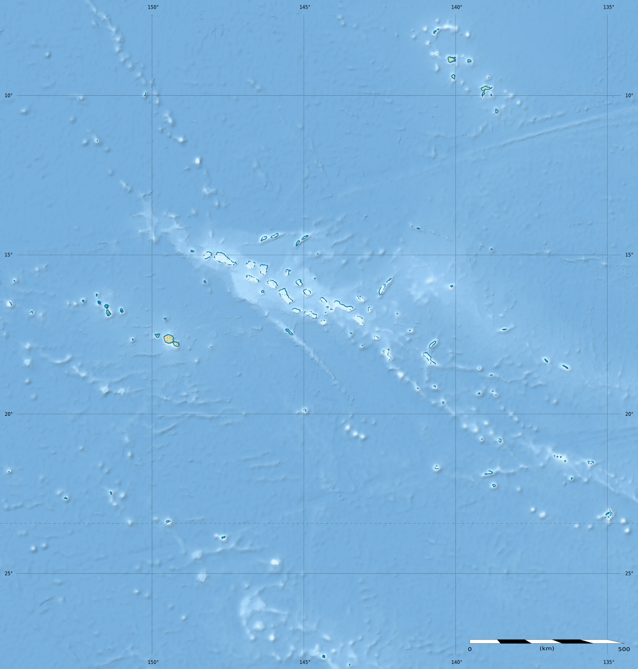
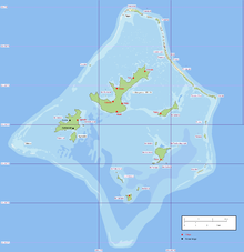 Archipel des Gambier
 Catégories :