Mabaruma
- Mabaruma
-
Mabaruma est une ville du Guyana, chef-lieu de la région de Barima-Waini. Elle est située à proximité de la rivière Aruka, qui marque la frontière avec le Venezuela, sur un plateau exigu surmontant la forêt tropicale. Elle a remplacé Morawhanna - ville menacée d'inondation - comme capitale régionale. C'est à Mabaruma que se trouve le premier établissement d'enseignement secondaire de la région, construit en 1965.
Wikimedia Foundation.
2010.
Contenu soumis à la licence CC-BY-SA. Source : Article Mabaruma de Wikipédia en français (auteurs)
Regardez d'autres dictionnaires:
Mabaruma — Mabaruma … Wikipedia Español
Mabaruma — Infobox Settlement official name = PAGENAME other name = native name = nickname = settlement type = motto = imagesize = 300px image caption = flag size = image seal size = image shield = shield size = image blank emblem = blank emblem type =… … Wikipedia
Mabaruma — Original name in latin Mabaruma Name in other language Mabaruma, USI State code GY Continent/City America/Guyana longitude 8.2 latitude 59.78333 altitude 13 Population 717 Date 2012 01 16 … Cities with a population over 1000 database
Barima-Waini — (Region One) is a region of Essequiban Guyana, a territory in dispute by Guyana and Venezuela, located in the northwest of the country. It covers an area of 20,339 km². It borders the Atlantic Ocean to the north, the region of Pomeroon Supenaam… … Wikipedia
North West Secondary School — is a secondary school in Mabaruma, in the Barima Waini region in northern Guyana. It was established in 1965, and was the only secondary school in the region until Santa Rosa school was set up in 1992. Students from all different areas enters… … Wikipedia
Cheddi Jagan International Airport — IATA: GEO – ICAO: SYCJ … Wikipedia
Ogle Airport — (IATA: OGL, ICAO: SYGO) is located on the Atlantic Ocean coast of Guyana, 6 miles east of the capital, Georgetown. In 2003 the airport was a local hub shuttling some 50,000 passengers and 1,800 tons of cargo annually. Construction began that … Wikipedia
Barima-Waini — 7° 40′ 01″ N 59° 45′ 00″ W / 7.667, 59.75 … Wikipédia en Français
Consejos vecinales de Guyana — Los Consejos vecinales de Guyana o Consejos vecinales democráticos de Guyana,[1] son la división administrativa de segundo grado en Guyana. El país es una república unitaria que se divide en diez regiones administrativas ,cada una de las cuales… … Wikipedia Español
List of cities and towns in Guyana — This is a list of settlements in Guyana:*Adventure *Aishalton *Anna Regina *Annai *Apoteri *Arakaka *Arimu Mine *Baramita *Bartica *Biloku *Blairmont *Burma *Buxton * Better Hope,Guyana *Catherinas Lust *Charity *Corriverton *Dadanawa *Enmore… … Wikipedia
 Guyana
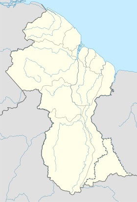
 Mabaruma