Lower Sugarloaf Key
Contenu soumis à la licence CC-BY-SA. Source : Article Lower Sugarloaf Key de Wikipédia en français (auteurs)
Regardez d'autres dictionnaires:
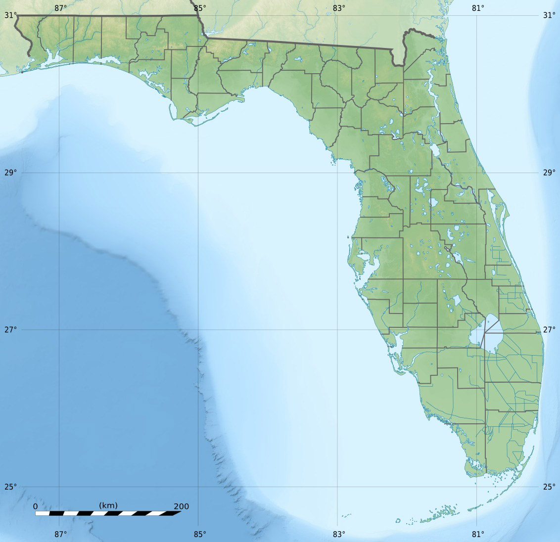
Lower Sugarloaf Key — is an island in the lower Florida Keys about 13 miles east of Key West.It is located between the Saddlebunch Keys and Sugarloaf Key, apparently separated from Sugarloaf Key by Upper Sugarloaf Sound and Park Key.U.S. 1 (or the Overseas Highway)… … Wikipedia
Sugarloaf Key — is one of the larger islands in the lower Florida Keys, about 15 miles east of Key West. It is located between Park Key and Cudjoe Key.U.S. 1 (or the Overseas Highway) crosses the key at approximately mile markers 19 20.5.Its earlier names were… … Wikipedia
Sugarloaf Key — Vorlage:Infobox Insel/Wartung/Fläche fehltVorlage:Infobox Insel/Wartung/Höhe fehlt Sugarloaf Key Gewässer … Deutsch Wikipedia
Sugarloaf Key bat tower — Infobox nrhp | name = Sugarloaf Key Bat Tower caption = Historic bat tower on Lower Sugarloaf Key, Florida locator x = locator y = location = Monroe County, Florida nearest city = Key West, Florida built = 1929 added = May 13, 1982 governing body … Wikipedia
Sugarloaf Key — Pour les articles homonymes, voir Sugarloaf. Sugarloaf Key Sugarloaf Key (en) Géographie Pays … Wikipédia en Français
Key deer — A male Key Deer on No Name Key in the Florida Keys Conservation status … Wikipedia
Sugarloaf Shores, Florida — Sugarloaf Shores is an unincorporated community in Monroe County, Florida, United States. It is located in the lower Florida Keys on Lower Sugarloaf Key near mile marker 17 on US 1 (the Overseas Highway).It is directly across US 1 from the ghost… … Wikipedia
Key Largo — Coordinates: 25°05′11″N 80°26′50″W / 25.0865°N 80.4473°W / 25.0865; 80.4473 … Wikipedia
Sugarloaf (disambiguation) — A Sugarloaf is a large conical loaf of refined sugar. Sugarloaf may also refer to: *Sugarloaf (mountain), a common name for many raised landforms (hill, mountain, summit, peak, butte, rock formation, etc.) Islands: * Sugarloaf Key, island in the… … Wikipedia
Key Deer — Taxobox name = Key Deer status = EN status system = iucn2.3 image caption = A male Key Deer on No Name Key in the Florida Keys image width = 250x200px regnum = Animalia phylum = Chordata classis = Mammalia ordo = Artiodactyla familia = Cervidae… … Wikipedia
 États-Unis
 Lower Sugarloaf Key