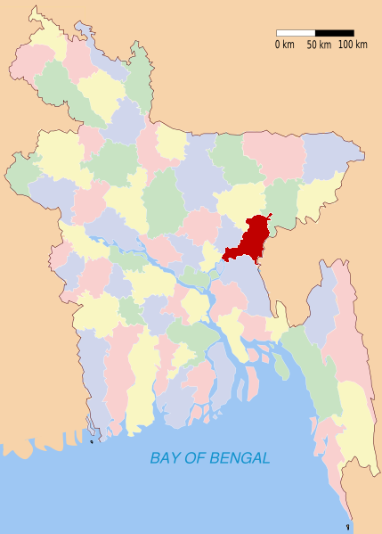
Brahmanbaria (district)
Contenu soumis à la licence CC-BY-SA. Source : Article Brahmanbaria (district) de Wikipédia en français (auteurs)
Regardez d'autres dictionnaires:
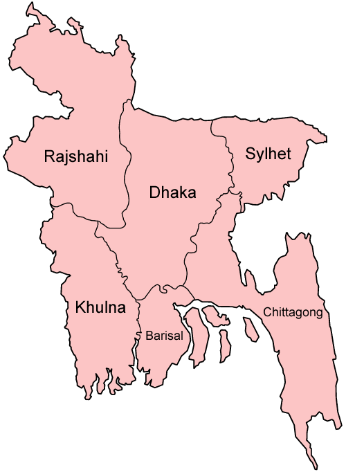
Brahmanbaria District — Infobox of BD districts native name = Brahmanbaria skyline = skyline size = skyline caption = locator position = right latd = 23.9528 longd = 91.1167 division name = Chittagong Division population as of = 1991 population total = 2365880… … Wikipedia
Brahmanbaria District — Admin ASC 2 Code Orig. name Brāhmanbāria District Country and Admin Code BD.84.04 BD … World countries Adminstrative division ASC I-II
Brahmanbaria District — noun One of the eleven districts in the Chittagong Division of Bangladesh … Wiktionary
Brahmanbaria Sadar Upazila — Infobox of upazilas native name = Brahmanbaria Sadar locator position = right latd = 23.9528 longd = 91.1167 division name = Chittagong Division district = Brahmanbaria District population as of = 1991 population total = 659449 population density … Wikipedia
Daily Brahmanbaria — The Daily Brahmanbaria is the first daily newspaper in the Brahmanbria district which is being published by the direction of Md. Nurul Hossain, who has more than forty years of experience as an editor. This newspaper is also being published as a… … Wikipedia
Comilla District — This article is about the district. For the city, see Comilla. For the municipality, see Comilla City Corporation. Comilla District … Wikipedia
Narayanganj District — Narayanganj নারায়ণগঞ্জ জেলা District Location of Narayanganj in Bangladesh … Wikipedia
Narsingdi District — Narsingdi নরসিংদী District Location of Narsingdi in Bangladesh … Wikipedia
Habiganj District — Infobox of BD districts native name = Habiganj skyline = skyline size = skyline caption = locator position = right latd = 24.38 longd = 91.42 division name = Sylhet Division population as of = 1991 population total = 1757331 population density =… … Wikipedia
Natore District — Natore District Uttara Gano Bhaban, earlier known as Natore Rajbadi, is n … Wikipedia