Kreileroord
Contenu soumis à la licence CC-BY-SA. Source : Article Kreileroord de Wikipédia en français (auteurs)
Regardez d'autres dictionnaires:
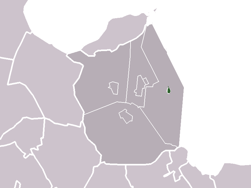
Kreileroord — Dutch town locator maps mun town caption = The town of Kreileroord in the municipality of Wieringermeer.Kreileroord (coord|52|50|N|5|5|E|type:city(608)) is a town in the Dutch province of North Holland. It is a part of the municipality of… … Wikipedia
Wieringermeer — Héraldique … Wikipédia en Français
Wieringermeer — Infobox Settlement official name = Wieringermeer mapsize = 280px flag size = 150x75px image shield = Gemeentewapen Wieringermeer.gif shield size = 150x75px subdivision type = Country subdivision name = Netherlands subdivision type1 = Province… … Wikipedia
Zuiderzee Works — The 32 km Afsluitdijk separates the IJsselmeer (right) from the Wadden Sea (left), protecting thousands of km² of land. The Zuiderzee Works (Dutch: Zuiderzeewerken) are a manmade system of dams, land reclamation and water drainage works, the… … Wikipedia
List of places in the Netherlands — This is an alphabetical list of places (cities, towns, villages) in the Netherlands. Lists per province can be found at:* List of towns in Groningen * List of towns in Friesland * List of towns in Drente * List of towns in Overijssel * List of… … Wikipedia
Wieringermeer — Gemeinde Wieringermeer Flagge Wappen Provinz Nordholland Bürgermeister Loes d … Deutsch Wikipedia
Zuiderzeewerke — Der 32 km lange Afsluitdijk trennt das IJsselmeer (rechts) von der Nordsee (links) Die Zuiderzeewerke (niederl.: Zuiderzeewerken) sind ein großflächiges System von Deichen, Landgewinnungsflächen und Wasserpumpanlagen in den Niederlanden. Ziel war … Deutsch Wikipedia
Liste des localités des Pays-Bas par code postal — Cette page est une liste des localités (villes, villages) des Pays Bas par code postal. Les localités ne possédant pas leur propre code postal ne figurent pas dans cette liste. Sommaire 1 1000 1999 1.1 1000 1099 1.2 1100 1199 … Wikipédia en Français
Middenmeer — 52° 48′ 31″ N 4° 59′ 54″ E / 52.80861111, 4.99833333 … Wikipédia en Français
Slootdorp — 52°50′32″N 4°58′12″E / 52.84222, 4.97 … Wikipédia en Français