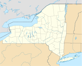
Hyde Park (New York)
Contenu soumis à la licence CC-BY-SA. Source : Article Hyde Park (New York) de Wikipédia en français (auteurs)
Regardez d'autres dictionnaires:
Hyde Park (New York) — Hyde Park … Deutsch Wikipedia
Hyde Park, New York — Infobox Settlement official name = Hyde Park, New York settlement type = Town nickname = motto = imagesize = image caption = image |pushpin pushpin label position = pushpin map caption =Location within the state of New York pushpin mapsize =… … Wikipedia
New Hyde Park, New York — Village Sunset in NHP Motto: A Great Place to Live … Wikipedia
North New Hyde Park, New York — CDP … Wikipedia
U.S. Post Office (Hyde Park, New York) — Infobox nrhp name = U.S. Post Office nrhp type = caption = Building in 2007, with one shutter missing location = Hyde Park, NY nearest city = Poughkeepsie lat degrees = 41 lat minutes = 47 lat seconds = 30 lat direction = N long degrees = 73 long … Wikipedia
Franklin Delano Roosevelt High School (Hyde Park, New York) — Infobox School name = Franklin Delano Roosevelt High School location = 156 South Cross Road Hyde Park, New York 12538 district = Hyde Park Central School District country = USA coordinates = coord|41.826|N|73.902|W|region:US… … Wikipedia
St. Peter's Church (Hyde Park, New York) — The Church of St. Peter General information Town or city Hyde Park, New York Country United States of America Design and construction Client Roman Catholic Archdiocese of … Wikipedia
Hyde Park (Nueva York) — Hyde Park Pueblo de los Estados Unidos Casa de Franklin D. Roosevelt … Wikipedia Español
Munsey Park, New York — Village U.S. Census Map … Wikipedia
Floral Park, New York — Infobox Settlement official name = Floral Park, New York settlement type = Village nickname = motto = A Great Place to Live imagesize = image caption = pushpin pushpin label position = none pushpin map caption =Location within the state of New… … Wikipedia
 États-Unis
 New York


