Hulun
- Hulun
-
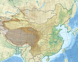
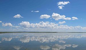
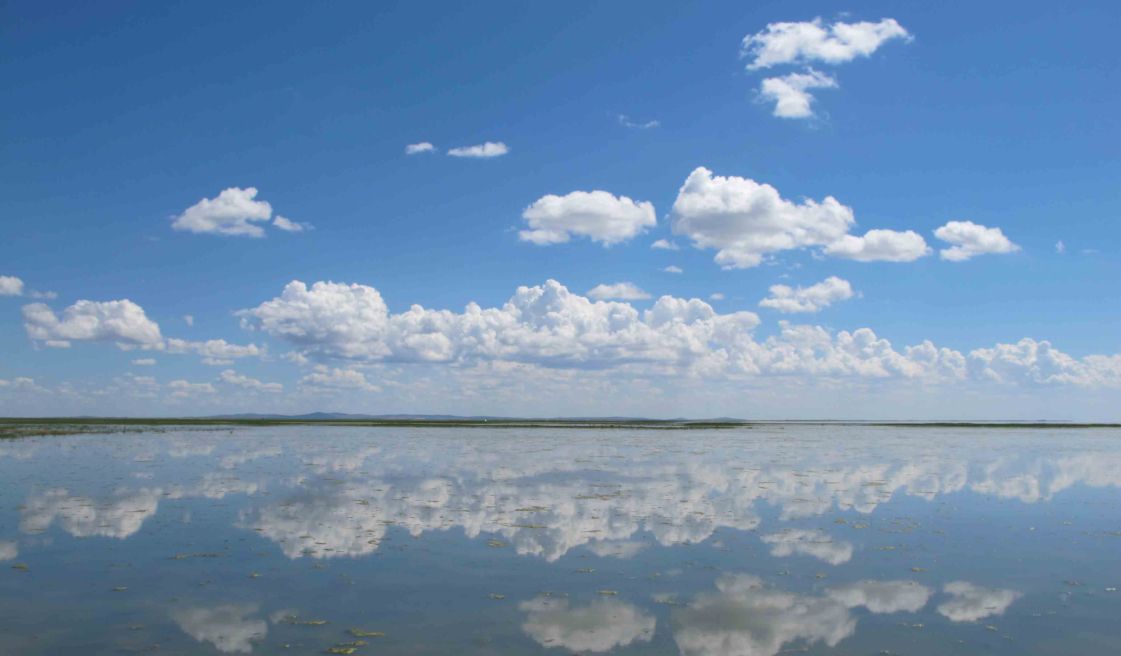
Le lac de Hulun ou Kulun, ou encore Dalai ou Dalaï[1] est un lac de la Mongolie-Intérieure, en Chine.
Géographie
C'est un des cinq plus grand lacs d'eau douce de Chine, d'une surface d'environ 2.339 km². Il est alimenté principalement par le Kerulen.
Voir aussi
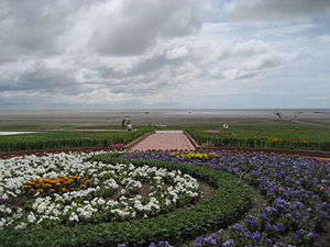
un jardin donnant sur le lac Hulan
Notes et références
- ↑ Selon les transcriptions, on rencontre : Houloun, Koulon, Kulon, Kouloun, Khulun, etc., quelquefois avec le suffixe -nur, -nuur, -nor ou -noor signifiant « lac ».
Catégories :
- Système hydrologique de l'Amour
- Lac de Chine
Wikimedia Foundation.
2010.
Contenu soumis à la licence CC-BY-SA. Source : Article Hulun de Wikipédia en français (auteurs)
Regardez d'autres dictionnaires:
Hulun — Hulun, Stadt in China, Hailar … Universal-Lexikon
Hulun — Original name in latin Hulun Name in other language Hulun, Hulun Sumu, hu lun, hu lun su mu State code CN Continent/City Asia/Shanghai longitude 48.64907 latitude 116.94548 altitude 548 Population 0 Date 2013 01 13 … Cities with a population over 1000 database
Hulun — * For the city see HailarHulun was the original Manchu and Tungus name for the territory between the Stanovoi mountains and the Amur river; it was also bordered by the Manchu coast and the Shantar Archipelago.The first known residents were the… … Wikipedia
Hulun Nur — Hulun See Zuflüsse: Kerulen Fluss im Südwesten Orxon Fluss im Osten Abflüsse: Fluss Argun Daten Koordinaten … Deutsch Wikipedia
Hulun See — Zuflüsse: Kerulen Fluss im Südwesten Orxon Fluss im Osten Abflüsse: Fluss Argun Daten Koordinaten … Deutsch Wikipedia
Hulun-See — Bild gesucht BW Zuflüsse Kerulen Fluss im Südwesten Orxon Fluss im Osten Abfluss … Deutsch Wikipedia
Hulun Lake — A boat on a dried up section of Lake Hulun Location Inner Mongolia Coordinates … Wikipedia
Hulun Buir — (en chino:呼伦贝尔, pinyin:Hūlúnbèi ěr). Es una ciudad prefectura en la provincia de Mongolia Interior, República Popular de China. Limita al norte con Rusia,al sur con Hinggan,al oeste con Mongolia y al este con Heihe. Su area es de 263,953 km2 y su … Wikipedia Español
Hulun Nur — Hulun Nur, Dalai Nor, Endsee des Kerulen im Autonomen Gebiet Innere Mongolei, Nordchina, nahe der Grenze zur Mongolei und zu Russland, auf dem Mongolischen Plateau, 539 m über dem Meeresspiegel, etwa 55 km lang, bis 15 km breit, jedoch von… … Universal-Lexikon
Hulun Buir — Mongolische Bezeichnung Mongolische Schrift: ᠬᠥᠯᠦᠨ ᠪᠣᠧᠧᠷ ᠬᠣᠲ Transliteration: kölün buyir qota Offizielle Transkription der VRCh: Hulun Buir Kyrillische Schrift: Хөлөнбойр хот … Deutsch Wikipedia
 Pour la bannière de Mongolie-Intérieure, voir Bannière de Hure.
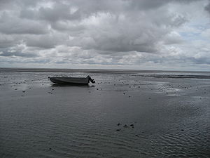
 Chine
Chine