Geiger Key
Contenu soumis à la licence CC-BY-SA. Source : Article Geiger Key de Wikipédia en français (auteurs)
Regardez d'autres dictionnaires:
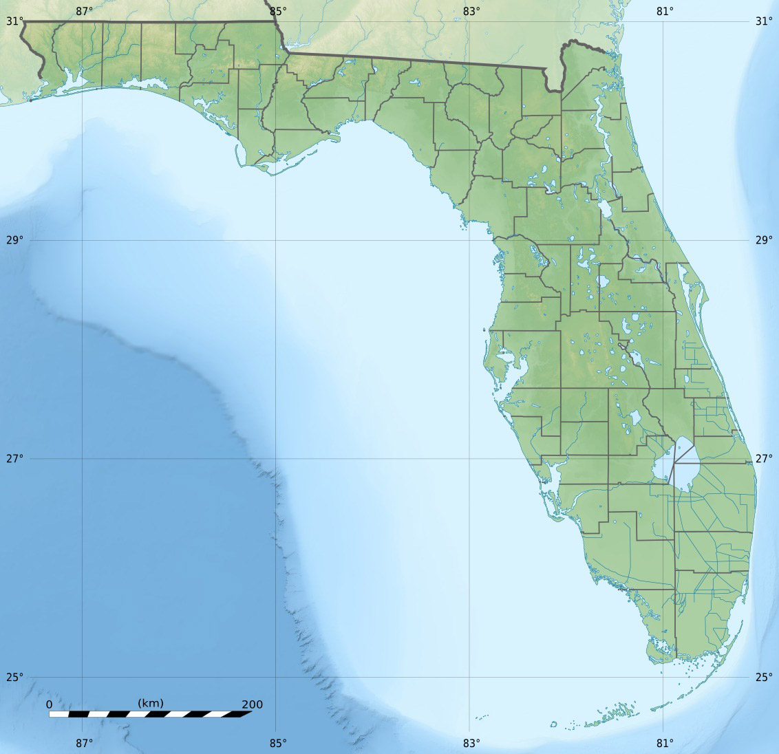
Geiger Key — is an island in the lower Florida Keys about convert|5|mi|km east of Key West. It is located to the south of, and bridged to, Big Coppitt Key via Boca Chica Road (Monroe County Road 941) at approximately mile marker 11 on U.S. 1 (or the Overseas… … Wikipedia
Key deer — A male Key Deer on No Name Key in the Florida Keys Conservation status … Wikipedia
Key Largo — Coordinates: 25°05′11″N 80°26′50″W / 25.0865°N 80.4473°W / 25.0865; 80.4473 … Wikipedia
Cudjoe Key, Florida — CDP Location in … Wikipedia
No Name Key — True Key Deer on No Name Key in the Florida Keys. No Name Key is an island located in the lower Florida Keys in the United States. It is 3 miles from US 1 and sparsely populated with only 43 homes. It is a fairly small island in comparison to its … Wikipedia
National Key Deer Refuge — Coordinates: 24°44′00″N 81°24′00″W / 24.7333333°N 81.4°W / 24.7333333; 81.4 The National Key Deer Refuge is a 8,542 acre (34 … Wikipedia
Dildo Key — Coordinates: 25°03′32″N 80°53′06″W / 25.059°N 80.885°W / 25.059; 80.885 … Wikipedia
Dagny Johnson Key Largo Hammock Botanical State Park — IUCN Category V (Protected Landscape/Seascape) … Wikipedia
Ohio Key — in the lower Florida Keys Ohio Key is an island in the lower Florida Keys. U.S. 1 (or the Overseas Highway) crosses the key at approximately mile marker 39, between Missouri Key and Bahia Honda Key. It was once known as Little Duck Key, however… … Wikipedia
Missouri Key — is a small island in the lower Florida Keys. U.S. 1 (or the Overseas Highway) crosses the key at approximately mile marker 39.5, between Ohio Key and Little Duck Key. The island was named during Henry Flagler s Overseas Railroad construction… … Wikipedia
 États-Unis
 Geiger Key