Funagata
- Funagata
-
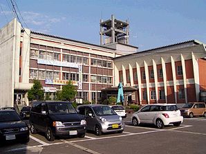
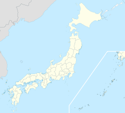
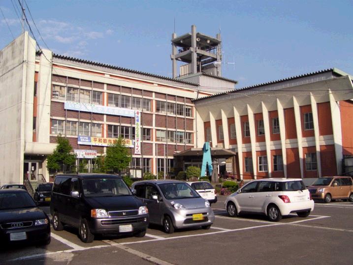
Funagata (舟形町, Funagata-machi?) est un bourg du district de Mogami dans la préfecture de Yamagata au nord de l'île de Honshū au Japon.
En 2010, la population s'élevait à 6291 habitants et sa densité était de 53 personnes par km². Sa superficie est de 119.03 km².
Liens externes
Sur les autres projets Wikimedia :
Wikimedia Foundation.
2010.
Contenu soumis à la licence CC-BY-SA. Source : Article Funagata de Wikipédia en français (auteurs)
Regardez d'autres dictionnaires:
Funagata — (jap. 船形) bezeichnet: ein Dorf in der Präfektur Chiba, heute: Tateyama (Chiba) ein Lehen mit Sitz in diesem: Funagata (Han) Diese Seite ist eine Begriffsklärung z … Deutsch Wikipedia
Funagata volcano — (船形火山) is a stratovolcano that consists of several different mountains. The volcano is located on the border of Miyagi Prefecture and Yamagata Prefecture in Japan. The precise location of the volcano is coord|38|27|N|140|37|E|type:mountain region … Wikipedia
Funagata, Yamagata — nihongo|Funagata|舟形町|Funagata machi is a town located in Mogami District, Yamagata Prefecture, Japan.As of 2003, the town has an estimated population of 6,631 and a density of 55.71 persons per km². The total area is 119.03… … Wikipedia
Funagata Station — Infobox Station name=nihongo|Funagata Station|舟形駅|Funagata eki type= image size= image caption= address= coordinates= coord|38.6916|140.316|display=inline,title line= other= structure= platform=2 depth= levels= tracks= parking= bicycle= baggage… … Wikipedia
Ōu Main Line — 奥羽本線 along the moat of Yamagata Castle Site left:Narrow gauge right:Standard gauge Overview Type Main line … Wikipedia
Mogami District, Yamagata — Location of Mogami District in Yamagata Prefecture Mogami District (最上郡, Mogami gun … Wikipedia
Gozan no Okuribi — Daimonji Hidari Daimonji without fire Gozan … Wikipedia
Ushū Kaidō — The nihongo|Ushū Kaidō|羽州街道 was a subroute of the Ōshū Kaidō and the Sendaidō in Japan. It breaks off from the Sendaidō at Kōri juku in the modern day Kōri in Fukushima Prefecture. It connects to Aburakawa juku along Matsumaedō, the other… … Wikipedia
Gozan no Okuribi — Daimonji El Gozan no Okuribi (五山送り火), más conocido como Daimonji (大 文字), es uno de los festivales emblemáticos de Kyoto, Japón. Es la culminación de la fiesta de O Bon el 16 de agosto, en el que cinco gigantes hogueras se encienden en las… … Wikipedia Español
Ushū Kaidō — Le Ushū Kaidō (羽州街道, Ushū Kaidō?) était une route secondaire du Ōshū Kaidō du Sendaidō au Japon. Elle se sépare du Sendaidō à Kōri juku dans la ville contemporaine de Kōri, préfecture de Fukushima. Elle rejoint Aburakawa juku le long du… … Wikipédia en Français