Flowerdale
Contenu soumis à la licence CC-BY-SA. Source : Article Flowerdale de Wikipédia en français (auteurs)
Regardez d'autres dictionnaires:
Flowerdale — may refer to:*Flowerdale, Tasmania *Flowerdale, Victoria … Wikipedia
Flowerdale Estate — (Flowerdale,Австралия) Категория отеля … Каталог отелей
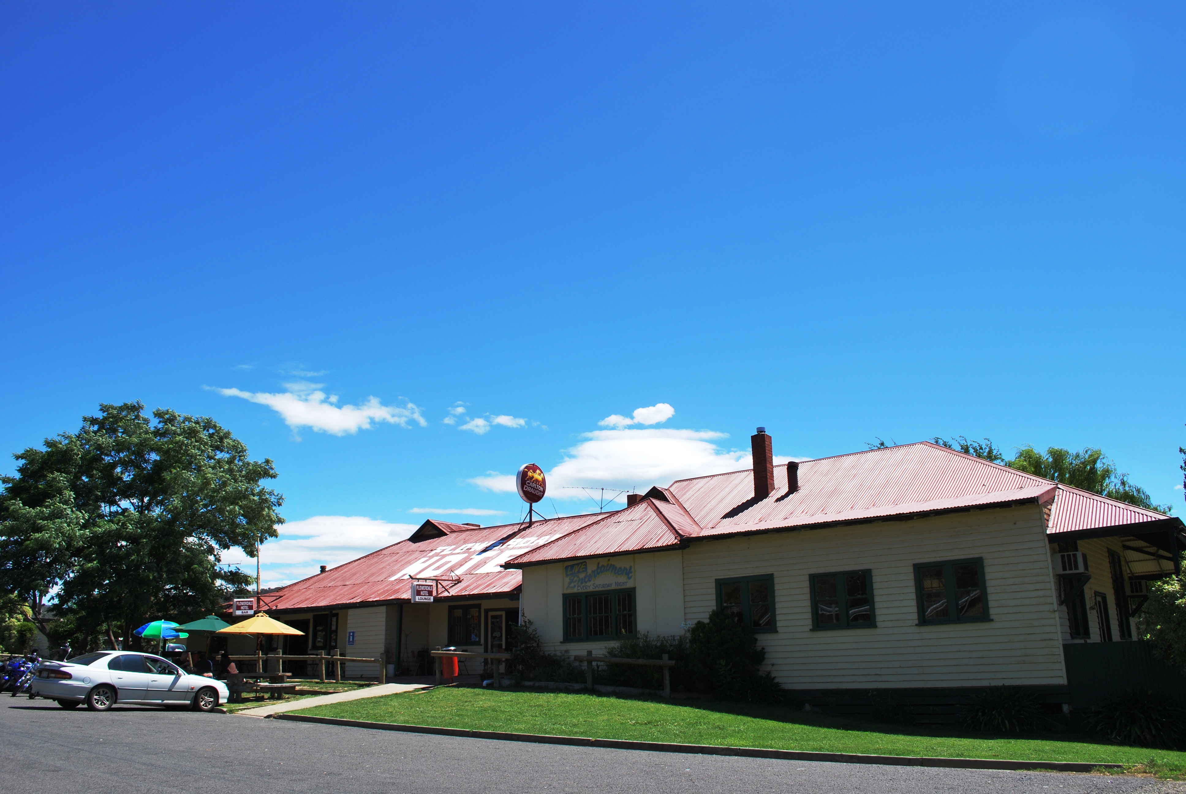
Flowerdale, Victoria — Infobox Australian Place | type = town name = Flowerdale state = vic caption = Flowerdale Hotel lga = Shire of Murrindindi postcode = 3717 est = pop = elevation= maxtemp = mintemp = rainfall = stategov = Seymour fedgov = McEwen dist1 = 95 dir1 =… … Wikipedia
The London Prodigal — is a play in English Renaissance theatre, a city comedy set in London, in which a prodigal son learns the error of his ways. The play was published in quarto in 1605 by the stationer Nathaniel Butter, and printed by Thomas Cotes. In 1664 it was… … Wikipedia
Gairloch — infobox UK place country = Scotland official name= Gairloch gaelic name= Geàrrloch population = os grid reference= NG850690 latitude=57.7 longitude= 5.6666667 map type=Scotland unitary scotland= Highland lieutenancy scotland= Ross and Cromarty… … Wikipedia
Shire of Murrindindi — Victoria Location in Victoria Popul … Wikipedia
Magnolia Plantation and Gardens (Charleston, South Carolina) — Plantation home at Magnolia Plantation … Wikipedia
Contenu:Australie — Projet:Australie/Liste des articles Liste mise à jour régulièrement par MyBot (d · c · b) à partir des articles liés au bandeau {{Portail Australie}} Modifications récentes des articles ayant le bandeau de ce portail… … Wikipédia en Français
Great Dividing Range — Coordinates: 25°00′S 147°00′E / 25°S 147°E / 25; 147 … Wikipedia
Freestone County, Texas — Infobox U.S. County county = Freestone County state = Texas map size = 250 founded = 1851 seat = Fairfield | area total sq mi =892 area land sq mi =877 area water sq mi =15 area percentage = 1.65% census yr = 2000 pop = 17867 density km2 =8 web … Wikipedia
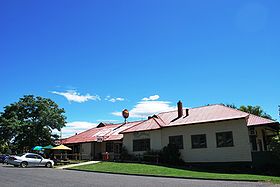 L'hôtel de Flowerdale
 Australie