Zaltan
- Zaltan
-
Zaltan ou Zelten (arabe : زلطن), est une ville du district de An Nouqat al Khams en Libye. Elle regroupe environ 17 700 habitants (2009) et est située sur la côte méditerranéenne à 145 km à l'ouest de la capitale Tripoli, et à 40 km à l'est du poste frontière tunisien de Ras Jedir.
Wikimedia Foundation.
2010.
Contenu soumis à la licence CC-BY-SA. Source : Article Zaltan de Wikipédia en français (auteurs)
Regardez d'autres dictionnaires:
Zaltan — o Zelten ( en árabe : زلطن ) es una ciudad en el distrito de An Nuqat al Khams al noroeste de Libia . La ciudad, que tiene una población de alrededor de 17.700 (2009),[1] se encuentra en la costa del Mediterráneo. Está a unos 140 kilómetros… … Wikipedia Español
Zaltan — ( ar. زلطن) is a city in north west Libya. The city, which has a population of around 4000, is on the Mediterranean coast. It is located around 90 miles west of Tripoli … Wikipedia
Zalṭan — ▪ Libya also spelled Zelten town site at the first exploited oil field in Libya. Located 105 miles (169 km) south of the Mediterranean port of Marsā al Burayqah on the Gulf of Sidra, at the foot of the Zalṭan Mountains, the town is in… … Universalium
Zaltan — Original name in latin Zalan Name in other language Zaltan, Zalan, Zelten, zltn State code LY Continent/City Africa/Tripoli longitude 32.94701 latitude 11.86647 altitude 4 Population 16291 Date 2012 12 05 … Cities with a population over 1000 database
Zelten oil field — Zelten Country Libya Location/block(s) Concession 6 Offshore/onshore Onshore … Wikipedia
Libya — /lib ee euh/, n. 1. Anc. Geog. the part of N Africa W of Egypt. 2. Italian, Libia. a republic in N Africa between Tunisia and Egypt: formerly a monarchy 1951 69. 5,648,359; 679,400 sq. mi. (1,759,646 sq. km). Cap.: Tripoli. * * * Libya… … Universalium
Marsā al-Burayqah — ▪ Libya also spelled Marsa el Brega, Mediterranean port on the Gulf of Sidra, northeastern Libya. The site, which was located by a small fishing village destroyed during World War II, contained nothing but land mines when it was chosen… … Universalium
Sirtica — ▪ region, Libya sandy desert region that is essentially a northward extension of the Sahara (desert), north central Libya; it is the site of one of the world s largest oil fields. The region fronts the Mediterranean Sea for about 300 miles… … Universalium
Nuqat al Khams — (النقاط الخمس) District Country … Wikipedia
Anexo:Localidades de Libia — Mapa de Libia. Al Bayda de Li … Wikipedia Español
 Libye
Libye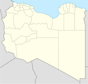
 Zaltan