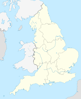
West Hythe
- West Hythe
-
West Hythe est un hameau proche de Hythe dans le district de Shepway dans le Kent. L'ancienne église de St Mary est en ruine au pied de l'escarpement au nord du canal.
Voir aussi
- Château de Lympne
- Portus Lemanis
Wikimedia Foundation.
2010.
Contenu soumis à la licence CC-BY-SA. Source : Article West Hythe de Wikipédia en français (auteurs)
Regardez d'autres dictionnaires:
West Hythe — infobox UK place country = England latitude= 51.065 longitude=1.025 official name=West Hythe population = shire district= Shepway shire county = Kent region= South East England constituency westminster=Folkestone and Hythe post town= postcode… … Wikipedia
Hythe — /huydh/, n. a town in E Kent, in SE England: one of the Cinque Ports. 11,949. * * * ▪ England, United Kingdom town (parish), Shepway district, administrative and historic county of Kent, England, on the English Channel coast at the eastern… … Universalium
Hythe Bridge — is a flat late 19th century cast iron beamed bridge on Hythe Bridge Street in the west of central Oxford, England. It spans the Castle Mill Stream, a backwater of the River Thames. Hythe Bridge forms part of the main arterial route west of Oxford … Wikipedia
Hythe Bridge Street — is in the west of central Oxford, England, forming part of the A4144. It links Botley Road (A420) to the east (at the junction with Hollybush Row, which continues becoming Oxpens Road) and Worcester Street (also the A4144) at the western end… … Wikipedia
West Somerset Railway — Locale Minehead, Somerset, England Terminus Bishops Lydeard … Wikipedia
Hythe, Kent — Infobox UK place official name= Hythe country= England | region= South East England population= 14,170(Parish) os grid reference= TR158350 latitude= 51.074 longitude= 1.082 post town= postcode area= postcode district= dial code= constituency… … Wikipedia
Hythe, Alberta — Infobox Settlement official name = Village of Hythe other name = native name = nickname = settlement type = Village motto = imagesize = image caption = flag size = image seal size = image shield = shield size = city logo = citylogo size = mapsize … Wikipedia
Hythe (Essex) railway station — Infobox UK station name = Hythe code = HYH manager = National Express East Anglia locale = Colchester borough = Colchester lowusage0405 = 45,214 lowusage0506 = 52,716 lowusage0607 = 52,729 platforms = 2 start = Hythe railway station serves the… … Wikipedia
West Sussex Railway — The West Sussex Railway opened in 1897 as the Hundred of Manhood and Selsey Tramway, so named to save having to build the railway to regulations that normally covered railways, later changing its name to the WSR. It closed in 1935 in the face of… … Wikipedia
Romney, Hythe and Dymchurch Railway — Romney, Hythe Dymchurch Railway Northern Chief at New Romney Overview Type Light railway Locale Ken … Wikipedia
 Angleterre
