Tótszentmárton

Tótszentmárton
Tótszentmárton
Aucun blason disponible
Aucune image disponible!
Administration
Pays Drapeau de Hongrie Hongrie
Région Transdanubie Occidentale
Comitat Zala
Langue(s) Hongrois
Géographie
Coordonnées 46° 25′ 00″ Nord
       16° 49′ 00″ Est
/ 46.416667, 16.816667


Localisation

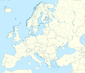
(Voir situation sur la carte de l'Europe)

Tótszentmárton

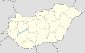
(Situation sur une carte de Hongrie)

Localisation de la ville
Tótszentmárton

Tótszentmárton est un village et une commune du comitat de Zala en Hongrie.

Géographie

Histoire


Wikimedia Foundation. 2010.

Contenu soumis à la licence CC-BY-SA. Source : Article Tótszentmárton de Wikipédia en français (auteurs)

Игры ⚽ Поможем решить контрольную работу

Regardez d'autres dictionnaires:

  • Zala County — For other uses, see Zala (disambiguation). Zala County Coat of arms …   Wikipedia

  • Nagykanizsa — Nagykanizsa …   Wikipedia

  • Misefa — Misefa …   Wikipedia

  • List of districts in Budapest — Budapest, the capital of Hungary has 23 kerület or districts, each with its own municipal government. Contents 1 The number of districts in Budapest 2 Districts …   Wikipedia

  • Nova, Hungary — Nova …   Wikipedia

  • Zalavár — Zalavár …   Wikipedia

  • Döbröce — Döbröce …   Wikipedia

  • Csapi — Csapi …   Wikipedia

  • Cserszegtomaj — Cserszegtomaj …   Wikipedia

  • Csertalakos — Csertalakos …   Wikipedia

Share the article and excerpts

Direct link
Do a right-click on the link above
and select “Copy Link”