Thong (Kent)
- Thong (Kent)
-
Thong est un Hameau situé dans le Sud Est du district de Gravesend dans le comté du Kent, en Angleterre.
Wikimedia Foundation.
2010.
Contenu soumis à la licence CC-BY-SA. Source : Article Thong (Kent) de Wikipédia en français (auteurs)
Regardez d'autres dictionnaires:
Thong, Kent — infobox UK place country = England static static image caption=Thong street sign official name= Thong latitude= 51.41 longitude= 0.4041 population = shire district= Gravesham shire county = Kent region= South East England Ambulance= constituency… … Wikipedia
Thong — may refer to:*Thong (clothing) an item of underwear or swim wear *Thong sandal or flip flop , a type of sandal held to the foot by a thin strap *Thong, England, an English village in Kent *a Vietnamese name, Thông *a common Laotian surname … Wikipedia
Gravesend, Kent — Long Reach redirects here. For the neighbourhood in the eastern United States, see Long Reach, Columbia, Maryland. Coordinates: 51°26′29″N 0°22′07″E / 51.4415°N 0.3685°E … Wikipedia
Chalk, Kent — Coordinates: 51°26′N 0°25′E / 51.43°N 0.41°E / 51.43; 0.41 … Wikipedia
Cobham, Kent — Not to be confused with Cobham, Surrey. Coordinates: 51°23′23″N 0°24′03″E / 51.3898°N 0.4008°E / 51.3898; 0.4008 … Wikipedia
Dode, Kent — This article is about the village and church in Kent. For other uses, see Dode. Coordinates: 51°20′53″N 0°23′42″E / 51.34817°N 0.39491°E / 51.34817; 0.39 … Wikipedia
List of Singapore-related topics — This is a list of topics related to Singapore. For a similar list in alphabetical order, see list of Singapore related topics by alphabetical order. Those interested in the subject can monitor changes to the pages by clicking on Related changes… … Wikipedia
Northfleet — For the ship wrecked on January 22, 1873, see Northfleet (ship). Coordinates: 51°26′51″N 0°19′29″E / 51.447588°N 0.324783°E / … Wikipedia
Adrian Young — performing with No Doubt in 2002 Background information Birth name Adrian Samuel Young Born 26 … Wikipedia
Meopham — Coordinates: 51°21′50″N 0°21′36″E / 51.364°N 0.360°E / 51.364; 0.360 … Wikipedia
 Angleterre
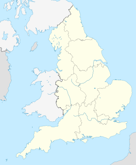
 Thong
Thong