Tarany
- Tarany
-
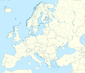
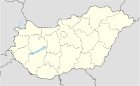
Tarany est un village et une commune du comitat de Somogy en Hongrie.
Géographie
Cette section est vide, insuffisamment détaillée ou incomplète.
Votre aide est la bienvenue !
Histoire
Cette section est vide, insuffisamment détaillée ou incomplète.
Votre aide est la bienvenue !
Catégorie :
- Ville et village du comitat de Somogy
Wikimedia Foundation.
2010.
Contenu soumis à la licence CC-BY-SA. Source : Article Tarany de Wikipédia en français (auteurs)
Regardez d'autres dictionnaires:
Tarany — Hilfe zu Wappen … Deutsch Wikipedia
Tarany — Infobox Settlement subdivision type = Country subdivision name = HUN timezone=CET utc offset=+1 timezone DST=CEST utc offset DST=+2|official name=Tarany subdivision type1=County subdivision name1=Somogy area total km2=54.68 population total=1274… … Wikipedia
Slovenes in Somogy — Slovenians of Somogy were a Slovenian community living in the Somogy county, Hungary.In the 17th and 18th century numerous Slovene families from Vas County settled down in Somogy County. According to recent research, there were sixteen Slovene… … Wikipedia
Somogy County — Infobox Hungarian county name =Somogy region =Southern Transdanubia seat = Kaposvár area = 6036 population = 325.024 density = 54 cities = 244Somogy is the name of an administrative county (comitatus or megye) in present Hungary, and also in the… … Wikipedia
Csurgó — For the Romanian village of Ciurgău, called Csurgó in Hungarian, see Ceanu Mare. Csurgó Country Hungary County Somogy Area … Wikipedia
Marcali — Marcali … Wikipedia
Nagyatád — Nagyatád … Wikipedia
Nagybajom — Nagybajom … Wikipedia
Wends dialect — Infobox Language name=Wends nativename=madžarskih/prekmurskih slovenski narečje states=Slovenia, Hungary and emigrant groups in various countries speakers=70 thousand familycolor=Indo European fam2=Balto Slavic fam3=Slavic fam4=South Slavic… … Wikipedia
Kleingebiet Nagyatád — Das Kleingebiet Nagyatád ist eine ungarische Verwaltungseinheit innerhalb des Komitat Somogy in Westungarn. Der Verwaltungssitz ist Nagyatád. Ortschaften Die folgenden Ortschaften gehören zum Kleingebiet Nagyatád: Bakháza Beleg Bolhás Görgeteg… … Deutsch Wikipedia

 Hongrie


