Saddleworth Moor
- Saddleworth Moor
-
53°32′36″N 1°57′21″O / 53.54333, -1.95583

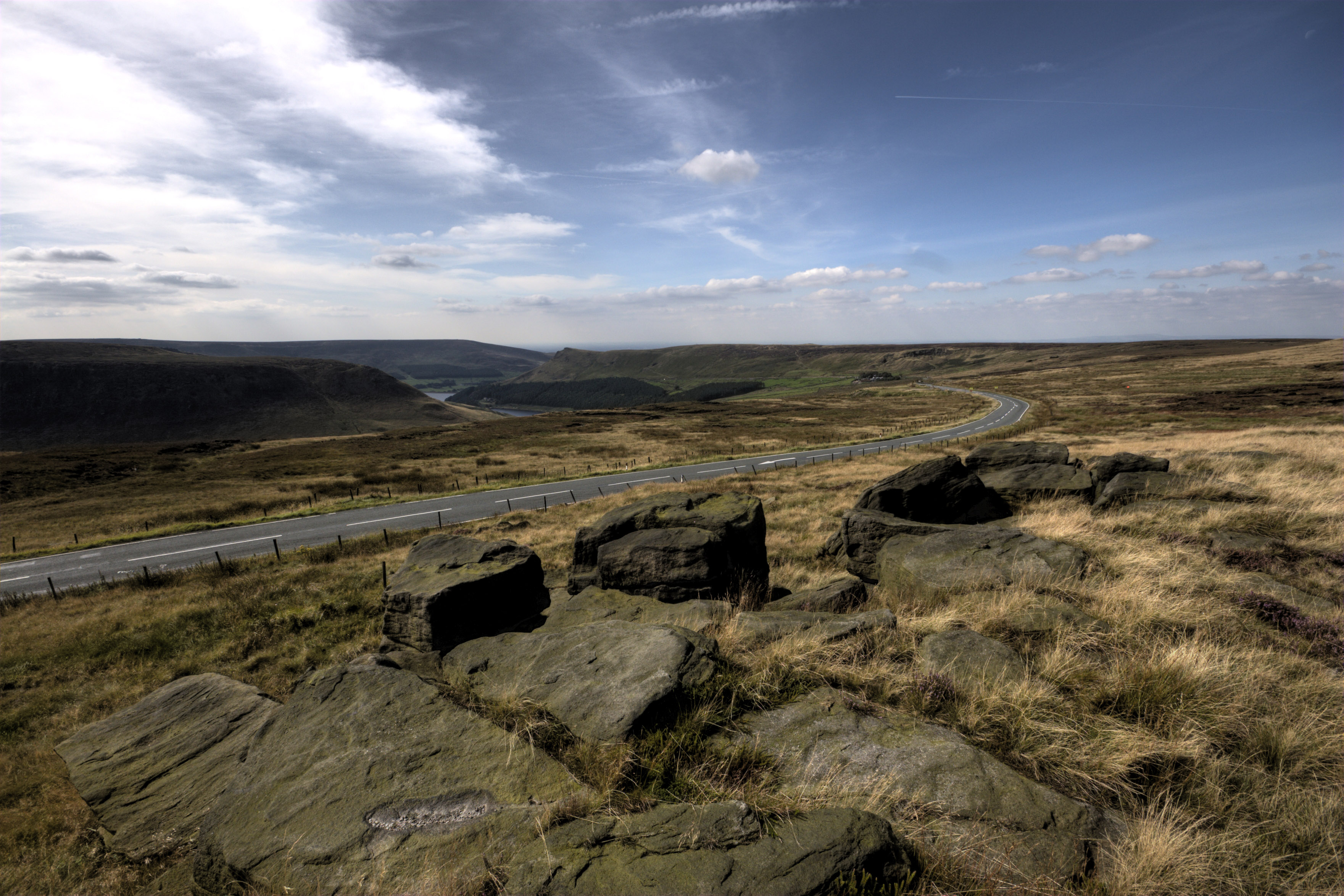
Vue de Saddleworth Moor prise de Hollin brown knoll.
Saddleworth Moor est une zone géographique au sud de la chaîne des Pennines, au Nord de l'Angleterre. C'est une aire de landes, peu densément peuplée, qui se situe sur les communes d'Oldham et de Kirklees, respectivement situés dans les comtés du Grand Manchester et du Yorkshire de l'Ouest.
De profondes vallées découpent le paysage de Saddleworth Moor, également traversée par diverses routes joignant les aires urbaines du Grand Manchester et du Yorshire de l'Ouest.
Wikimedia Foundation.
2010.
Contenu soumis à la licence CC-BY-SA. Source : Article Saddleworth Moor de Wikipédia en français (auteurs)
Regardez d'autres dictionnaires:
Saddleworth Moor — is an area of sparsley populated moorland and dark millstone grit scenery typical of the West Yorkshire and East Lancashire Pennine hills of northern England, between Holmfirth, West Yorkshire and Greenfield, Greater Manchester. Deep valleys cut… … Wikipedia
Oldham East and Saddleworth (UK Parliament constituency) — Oldham East and Saddleworth County constituency for the House of Commons Boundary of Oldham East and Saddleworth in … Wikipedia
Moors murders — Ian Brady and Myra Hindley Brady (left) and Hindley, October 1965 Background information Birth name Ian Duncan Stewart Myra Hindley Also known as … Wikipedia
Ian Brady — Infobox Serial Killer name=Ian Brady| caption=Mugshots of Ian Brady and his partner Myra Hindley at the time of their arrest in October 1965 location= Gorbals, Glasgow, Scotland victims=5 country=England states= beginyear=1963 endyear=1965… … Wikipedia
Gran Mánchester — Condado del Reino Unido Entida … Wikipedia Español
Greenfield, Greater Manchester — infobox UK place country = England map type= Greater Manchester latitude= 53.5517 longitude= 2.0067 official name= Greenfield population= civil parish= Saddleworth metropolitan borough= Oldham metropolitan county= Greater Manchester region= North … Wikipedia
Marsden, West Yorkshire — Coordinates: 53°36′04″N 1°55′36″W / 53.6011°N 1.9267°W / 53.6011; 1.9267 … Wikipedia
Mossley — Coordinates: 53°30′53″N 2°02′19″W / 53.5147°N 2.0387°W / 53.5147; 2.0387 … Wikipedia
Manchester — This article is about the city of Manchester in England. For the wider metropolitan county, see Greater Manchester. For the larger conurbation, see Greater Manchester Urban Area. For other uses, see Manchester (disambiguation). Coordinates … Wikipedia
Rochdale — infobox UK place country = England map type= Greater Manchester latitude= 53.6136 longitude= 2.1610 official name= Rochdale population = 95,796 (2001 Census) metropolitan borough= Rochdale region= North West England metropolitan county= Greater… … Wikipedia