Roncador Bank
Contenu soumis à la licence CC-BY-SA. Source : Article Roncador Bank de Wikipédia en français (auteurs)
Regardez d'autres dictionnaires:
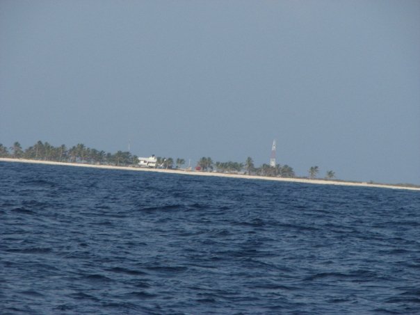
Roncador Bank — Roncador Bank, a mostly submerged atoll with several sandy cays, located at coord|13|34|N|80|04|W|, is 14 by 6 km in size, with an area of 65 km² (mostly water ndash; lagoon). In the northern area lies Roncador Cay, about 600 m by 300 m in area,… … Wikipedia
Roncador Bank — Vorlage:Infobox Insel/Wartung/Höhe fehlt Roncador Bank Roncador Bank von der ISS aus gesehen Gewässer Karibisches Meer … Deutsch Wikipedia
Roncador — bezeichnet ein Korallenriff im Pazifik, siehe Roncador Reef eine Korallenbank in der Karibik, siehe Roncador Bank eine Stadt im brasilianischen Staat Paraná, siehe Roncador (Brasilien) ein brasilianisches Ölfeld im Atlantik, siehe Roncador Ölfeld … Deutsch Wikipedia
Roncador Cay — est une petite île de l archipel Roncador Bank, situé à l ouest de la mer des Caraïbes, au large des côtes de l Amérique centrale, à 150 kilomètres au nord est des îles de la Providence … Wikipédia en Français
Roncador Cay — is a small island of the Roncador Bank, located in the west Caribbean Sea, off the coast of Central America, 150 km East northwest of Providencia Island.The USS Kearsarge ran aground on a reef off the cay on February 2, 1894, and, being deemed… … Wikipedia
Serrana Bank — Vorlage:Infobox Insel/Wartung/Höhe fehlt Serrana Bank Serrana Bank von der ISS aus gesehen Gewässer Karibisches Meer … Deutsch Wikipedia
Serrana Bank — The Serrana Bank is one of the few atolls in the Atlantic Ocean. Its mostly underwater reef of about 50km long and 13 km wide has numerous cays and islets, the most prominent of which is Southwest Cay. Serrana Bank is Colombian territory, though… … Wikipedia
Archipelago of San Andres, Providencia and Santa Catalina — infobox Department of Colombia Name = Department of the Archipelago of San Andres, Providencia and Santa Catalina AlternateName = Departamento del Archipielago de San Andrés, Providencia y Santa Catalina image map caption = San Andres and… … Wikipedia
Archipelago of San Andrés, Providencia and Santa Catalina — Archipelago of San Andres Providencia and Santa Catalina Archipiélago de San Andrés Providencia y Santa Catalina Department … Wikipedia
List of islands in the Caribbean — This is a list of islands of the Caribbean region, organized by the political territory each island belongs to.Anguilla* Anguilla * Anguillita * Blowing Rock * Cove Cay * Crocus Cay * Deadman s Cay * Dog Island * East Cay * Little Island * Little … Wikipedia