Pulau Tekong
- Pulau Tekong
-
1°24′29″N 104°03′21″E / 1.40806, 104.05583
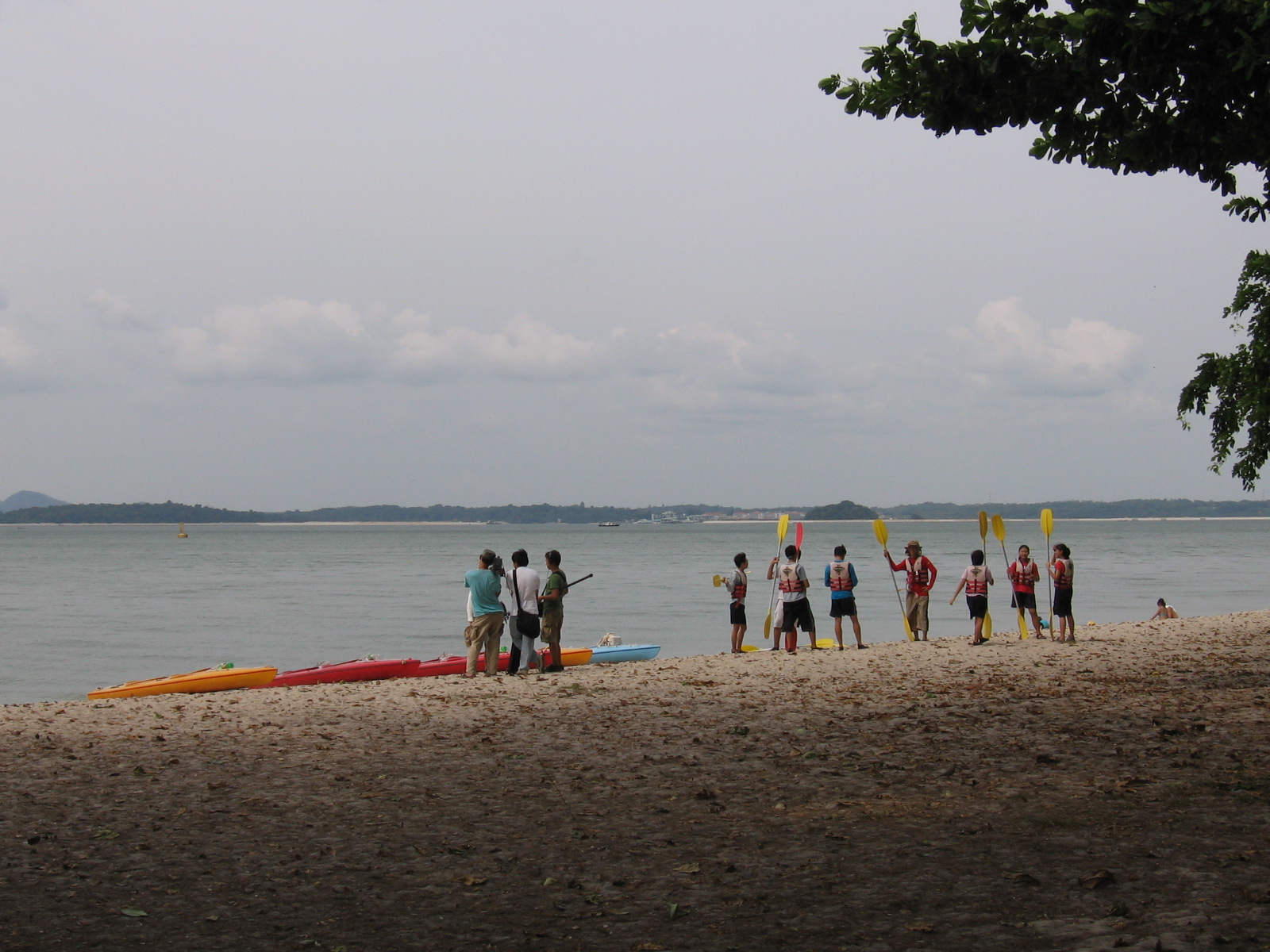
Pulau Tekong vue de la plage de Changi.
Pulau Tekong est la plus grande des îles situées au large de Singapour, au nord-est de celle-ci, avec une superficie de 24,43 km² - superficie croissante en raison de travaux de remblaiement sur les côtes sud et nord-ouest de l'île, qui pourraient même la conduire à absorber certains îlots avoisinants, notamment Pulau Tekong Kechil. Elle sert aujourd'hui de terrain d'entraînement pour les Forces armées singapouriennes, et accueille le Basic Military Training Centre.
Wikimedia Foundation.
2010.
Contenu soumis à la licence CC-BY-SA. Source : Article Pulau Tekong de Wikipédia en français (auteurs)
Regardez d'autres dictionnaires:
Pulau Tekong — Saltar a navegación, búsqueda Pulau Tekong Localización País Singapur Coordenadas 1°24′29″N 104°03′21″E / 1.40806°N 104.05583°E / 1.40806; 104.05583 Geografía … Wikipedia Español
Pulau Tekong — SG neighbourhood image englishname=Tekong Island chinesename=德光岛 poj= pengim= pinyin=Déguāng Dǎo malayname=Pulau Tekong tamilname= fill in Pulau Tekong is the largest of Singapore s outlying islands with an area of 24.43 km², and the island is… … Wikipedia
Pulau Tekong Kechil — SG neighbourhood image englishname=Pulau Tekong Kechil chinesename=小德光岛 poj= pengim= pinyin=xiǎodéguāng dǎo malayname=Pulau Tekong Kecil tamilname= சிறிய தெகோங்க் தீவு Pulau Tekong Kechil was a 89 hectare islet off the larger adjacent island of… … Wikipedia
Pulau Tekong Reservoir — Infobox lake lake name = Pulau Tekong Reservoir image lake = caption lake = image bathymetry = caption bathymetry = location = Pulau Tekong coords = coord|1|24|48|N|104|02|32|E|region:SG type:waterbody|display=inline,title type = reservoir inflow … Wikipedia
Pulau Ujong — (Malay: literally island at the end [of the peninsula] ) or Singapore Island is the main island of the island country of Singapore. It forms the majority of the island country in terms of area and population. It was the easiest reference to the… … Wikipedia
Pulau jemur — located about 45 miles from capital of Rokan Hilir regency, Bagansiapiapi, and about 45 miles from Malaysia. Actually, Pulau Jemur is named for several of small island, the isles are Pulau Tekong Emas, Pulau Tekong Simbang, Pulau Labuhan Bilik… … Wikipedia
Pulau Sejahat — SG neighbourhood image englishname=Pulau Sejahat chinesename=沙惹哈岛 poj= pengim= pinyin=shārěhā dǎo malayname=Pulau makin jahat tamilname= fill in Pulau Sejahat (Malay for Sejahat Island), also known as Pulau Sajahat, was a small island about 1.2… … Wikipedia
Pulau Serangoon — Coordinates: 1°24′32″N 103°55′21″E / 1.40889°N 103.9225°E / 1.40889; 103.9225 … Wikipedia
Pulau Ubin — SG neighbourhood image englishname=Pulau Ubin chinesename=乌敏岛 poj= pengim= pinyin=wūmǐn dǎo malayname=Pulau Ubin tamilname=உபின்தீவுPulau Ubin is a small island (10.19 km²) situated in the north east of Singapore, to the west of Pulau Tekong.… … Wikipedia
Pulau Ubin — Isla Ubin Localización País … Wikipedia Español