Pine Village (Indiana)
- Pine Village (Indiana)
-

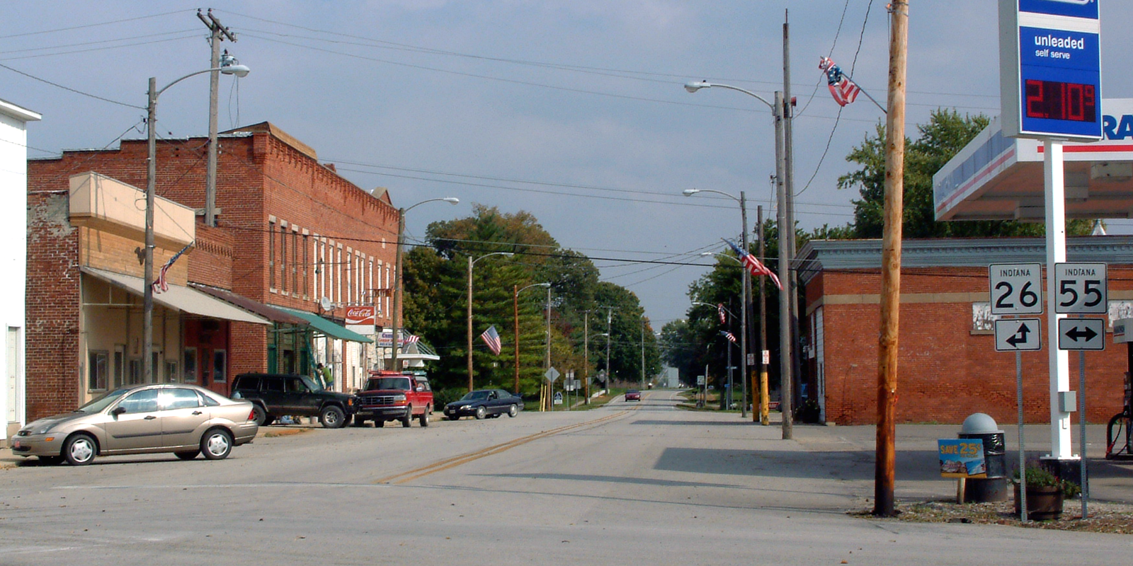
Lafayette Street à l'intersection des State Roads 26 et 55.
Pine Village est une town, un village, située dans l'Adams Township, comté de Warren, dans l'Indiana, aux États-Unis. Sa population était de 217 habitants au recensement de 2010.
Pine est le mot anglais pour pin, Pine Village étant donc le village des pins.
Annexes
Références
Wikimedia Foundation.
2010.
Contenu soumis à la licence CC-BY-SA. Source : Article Pine Village (Indiana) de Wikipédia en français (auteurs)
Regardez d'autres dictionnaires:
Pine Village, Indiana — Pine Village Town Lafayette Street at the intersection of 26 and 55 … Wikipedia
Pine Village — Pine Village, IN U.S. town in Indiana Population (2000): 255 Housing Units (2000): 118 Land area (2000): 0.125520 sq. miles (0.325094 sq. km) Water area (2000): 0.000000 sq. miles (0.000000 sq. km) Total area (2000): 0.125520 sq. miles (0.325094… … StarDict's U.S. Gazetteer Places
Pine Village, IN — U.S. town in Indiana Population (2000): 255 Housing Units (2000): 118 Land area (2000): 0.125520 sq. miles (0.325094 sq. km) Water area (2000): 0.000000 sq. miles (0.000000 sq. km) Total area (2000): 0.125520 sq. miles (0.325094 sq. km) FIPS code … StarDict's U.S. Gazetteer Places
Indiana locations by per capita income — Indiana has the twenty seventh highest per capita income in the United States of America, at $20,397 (2000). Its personal per capita income is $28,783 (2003).Indiana Counties Ranked by Per Capita IncomeThere are ninety two counties located in… … Wikipedia
Indiana State Road 26 — Infobox road state=IN type=IN route=26 alternate name= length mi=150.1 length round=1 length ref= [http://illi indi.com/EndsPage.php?id=1026 section=1 Indiana Highway Ends SR 26] ] established= direction a=West starting terminus= junction=… … Wikipedia
Indiana State Road 55 — Infobox road state=IN type=IN route=55 alternate name= length mi=110 length round= length ref= [http://illi indi.com/EndsPage.php?id=1055 section=1 Indiana Highway Ends SR 55] ] established= direction a=South starting terminus= junction=… … Wikipedia
Comté de Warren (Indiana) — 40° 21′ N 87° 22′ W / 40.35, 87.36 … Wikipédia en Français
Adams Township, Warren County, Indiana — Infobox Settlement official name = Adams Township settlement type = Township nickname = motto = imagesize = image caption = image imagesize = image caption = image mapsize = map caption = Location of Adams Township mapsize1 = map caption1 =… … Wikipedia
Medina Township, Warren County, Indiana — Medina Township Township Location of Medina Township in Warren County … Wikipedia
List of cemeteries in Warren County, Indiana — NOTOC Armstrong:coord|40|25|39.65|N|87|6|46.89|W|type:landmark, Medina Township:This cemetery was established in 1848. George D. Wagner, Indiana state representative elected in 1856 and a colonel during the Civil War, is buried here.… … Wikipedia