- Lidsing
-
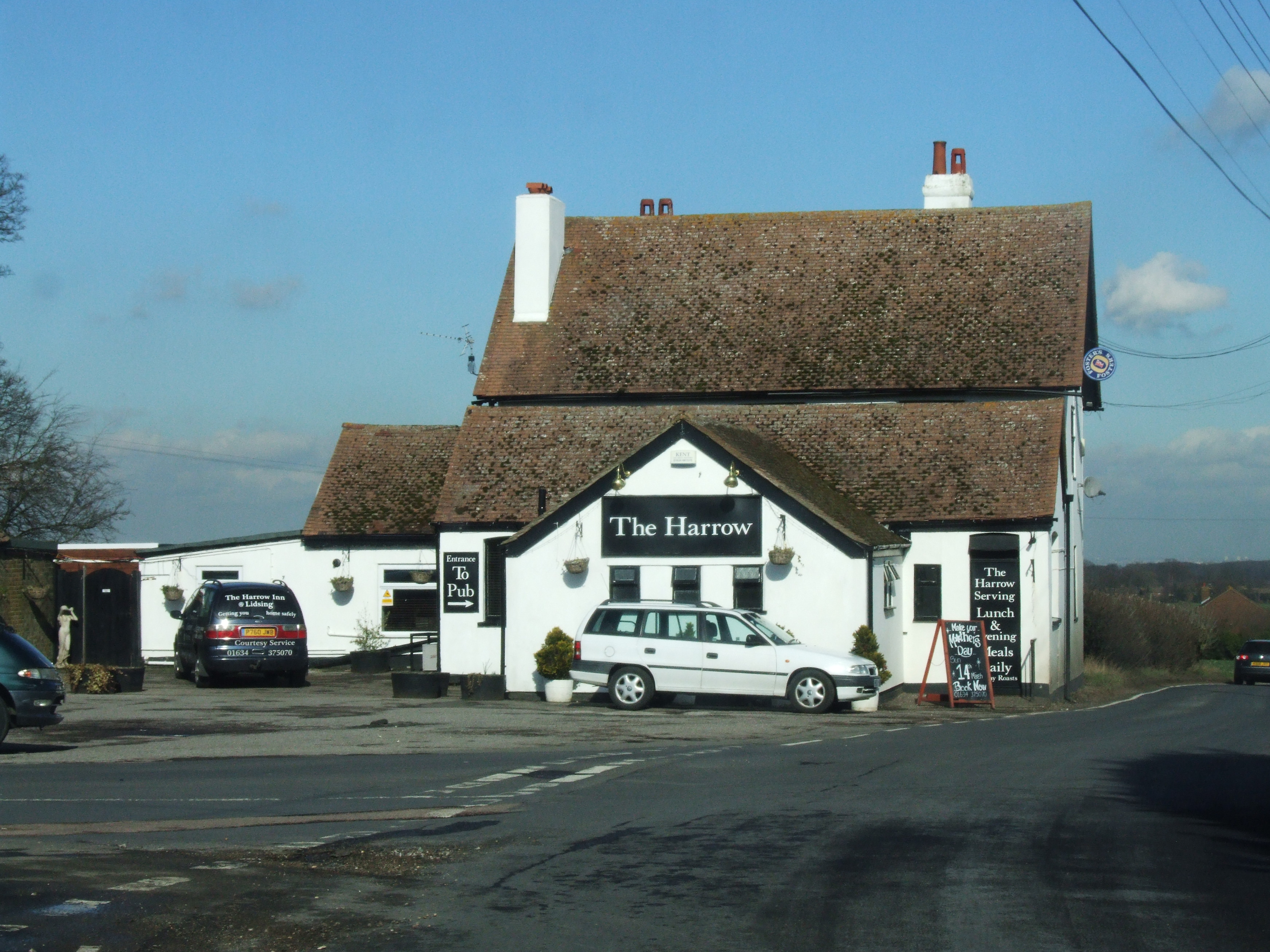
Lidsing  Pub The Harrow
Administration Pays  Angleterre
Régions Sud-Est Comtés Kent District Maidstone Police Kent Incendie Kent Ambulance Côte Sud-Est Géographie Coordonnées Localisation 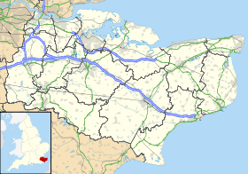
 Lidsing
Lidsing est un petit hameau près de l'autoroute M2 , dans le district de Maidstone , dans le comté du Kent. Il est situé au Sud de la Ville de Gillingham.
Catégorie :- Hameau du Kent

Wikimedia Foundation. 2010.