Kilndown
- Kilndown
-
Kilndown est un hameau situé à 5 miles (8 km) à l'ouest de la ville de Cranbrook dans le district de Tunbridge Wells et dans le Kent.
Histoire
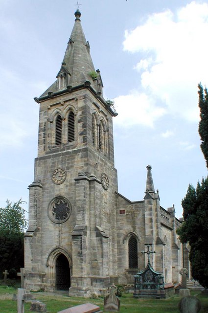
Kilndown était fondées dans les années 1840 par le vicomte de Beresford.
Sur les autres projets Wikimedia :
Wikimedia Foundation.
2010.
Contenu soumis à la licence CC-BY-SA. Source : Article Kilndown de Wikipédia en français (auteurs)
Regardez d'autres dictionnaires:
Kilndown — infobox UK place country = England official name= Kilndown latitude=51.088870 longitude= 0.430140 population = shire district= Tunbridge Wells shire county = Kent region= South East England constituency westminster= post town= postcode district … Wikipedia
William Beresford, 1st Viscount Beresford — General The Viscount Beresford GCB, GCH, GCTE, PC … Wikipedia
Curtisden Green — Coordinates: 51°08′14″N 0°29′34″E / 51.1371°N 0.4929°E / 51.1371; 0.4929 … Wikipedia
Goudhurst — infobox UK place country = England official name= Goudhurst population = 2,500 in Parish civil parish= Goudhurst Kilndown shire district= Tunbridge Wells shire county = Kent region= South East England constituency westminster= Tunbridge Wells… … Wikipedia
Daniel Horsmanden — (June 4, 1691 – 28 September 1778) was a chief justice of the supreme court in the Province of New York and member of the governor s executive council. Horsmanden was born in Goudhurst, Kent, England to a family of clergy and landed gentry. He… … Wikipedia
Royal Tunbridge Wells — Tunbridge Wells redirects here. For other uses, see Tunbridge Wells (disambiguation). Coordinates: 51°08′00″N 0°15′53″E / 51.1332°N 0.2647°E … Wikipedia
Patrick Mayhew — Patrick Barnabas Burke Mayhew, Baron Mayhew of Twysden, Kt PC (born 11 September 1929) is a British barrister, and Conservative Party politician.He was educated at Tonbridge School and Balliol College, Oxford. He was called to the Bar from the… … Wikipedia
Cranbrook, Kent — Coordinates: 51°06′03″N 0°32′04″E / 51.1007°N 0.5345°E / 51.1007; 0.5345 … Wikipedia
Matfield — For other uses, see Matfield (disambiguation). Coordinates: 51°08′56″N 0°21′53″E / 51.1488°N 0.3648°E / 51.1488; 0.3648 … Wikipedia
Countryliner Coaches — Countryliner is a small independent bus and coach operator, based in Merrow, United Kingdom. It operates in the Surrey and Sussex, running a number of bus and private hire coache services.HistoryThe history of Countryliner can be traced back to… … Wikipedia
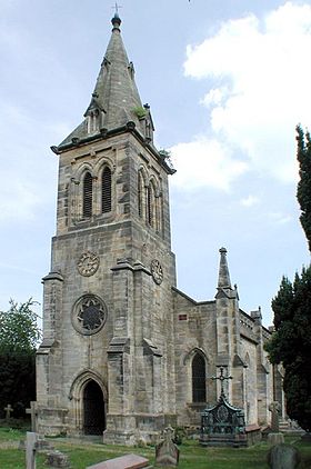 Église de Kilndown
 Angleterre
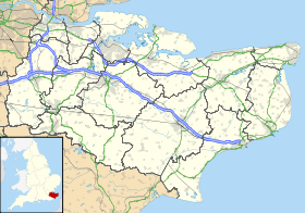
 Kilndown