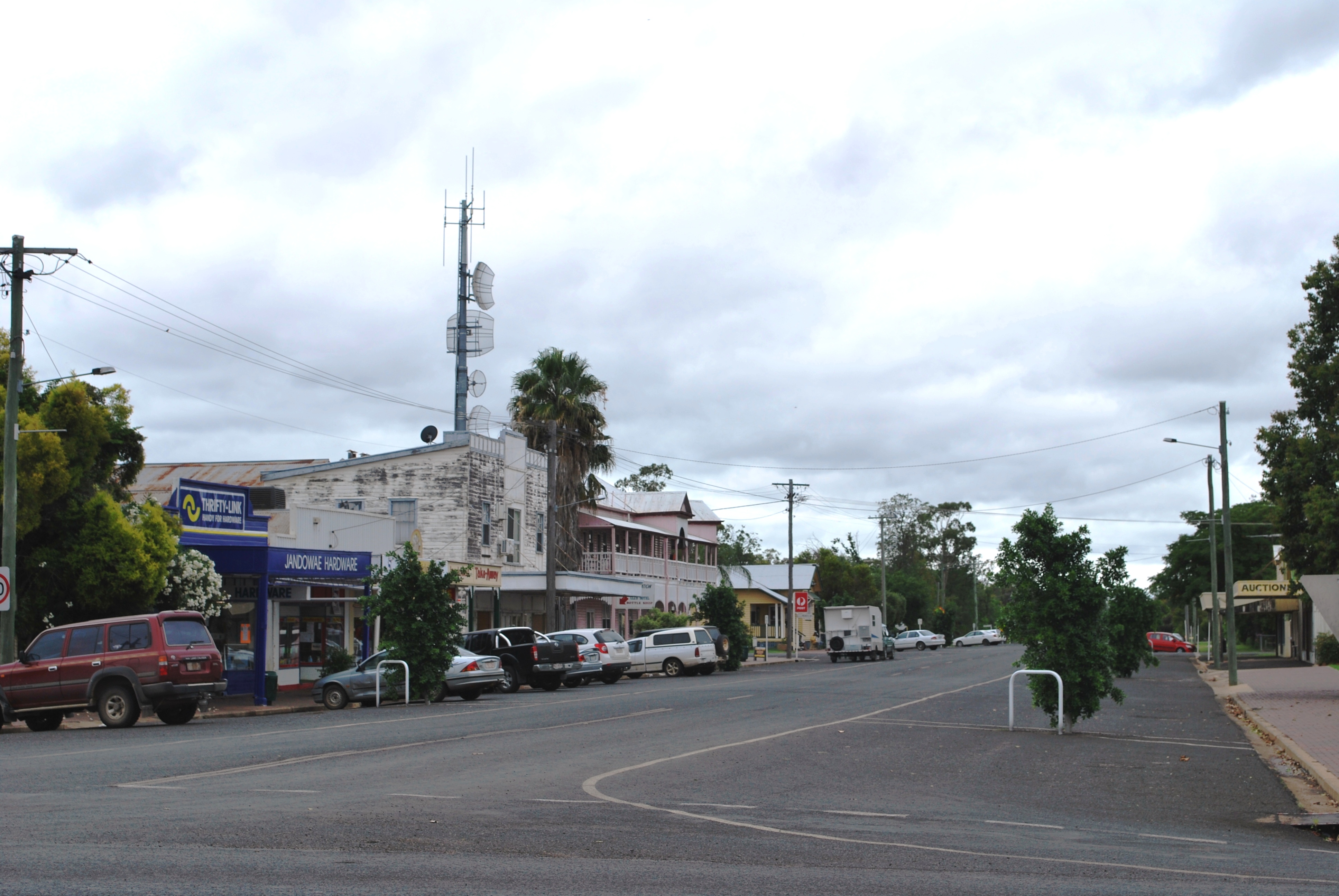
Jandowae
Contenu soumis à la licence CC-BY-SA. Source : Article Jandowae de Wikipédia en français (auteurs)
Regardez d'autres dictionnaires:
Jandowae, Queensland — Infobox Australian Place | type = town name = Jandowae state = qld caption = lga = Dalby Regional Council postcode = 4410 est = pop = 784 pop footnotes = elevation= maxtemp = mintemp = rainfall = stategov = Darling Downs fedgov = Maranoa dist1 =… … Wikipedia
Rock Eisteddfod Challenge results — 2008 Results= Adelaide Open Division Grand Final Results1st Brighton Secondary School 2nd Bordertown High School 3rd Blackwood High School Melbourne Premier Division Grand Final Results1st Fairhills Hight School 2nd St Columbas College(were… … Wikipedia
Western Downs Region — Queensland Location within Queensland Population … Wikipedia
Dalby, Queensland — Dalby Queensland Main street of Dalby … Wikipedia
Darling Downs — Southern Downs redirects here. For the Queensland electoral division, see Electoral district of Southern Downs. This article is about the region of Queensland, Australia. For the suburb of Perth, Australia, see Darling Downs, Western Australia.… … Wikipedia
Chinchilla, Queensland — Chinchilla Queensland Footpath on the main street of Chinchilla … Wikipedia
Miles, Queensland — Miles Queensland The main street of Miles … Wikipedia
Condamine, Queensland — Condamine Queensland The Leichhardt Highway, passing through Condamine … Wikipedia
Moonie, Queensland — Moonie Queensland The playground, craft and information centre at Moonie … Wikipedia
Construction of Queensland railways — Queensland s railway construction begin in the 1860s. A narrow gauge railway was selected due to cost savings and its suitability to the mountainous terrain along Queensland s coast. The rail network continued to expand until road transport… … Wikipedia
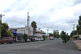 La grand'rue de Jandowae
 Australie
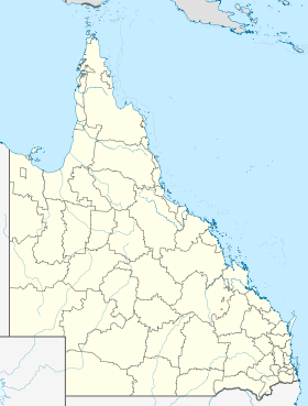
 Jandowae