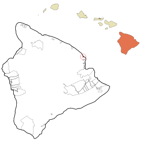
Honomu
Contenu soumis à la licence CC-BY-SA. Source : Article Honomu de Wikipédia en français (auteurs)
Regardez d'autres dictionnaires:
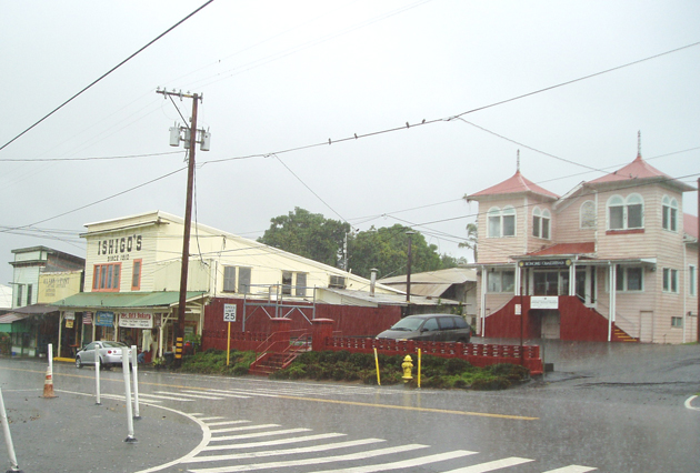
Honomu — Lugar designado por el censo de los Estados Unidos Honomu durante una tormenta … Wikipedia Español
Honomu — Honomu, HI U.S. Census Designated Place in Hawaii Population (2000): 541 Housing Units (2000): 213 Land area (2000): 0.461291 sq. miles (1.194739 sq. km) Water area (2000): 0.026764 sq. miles (0.069318 sq. km) Total area (2000): 0.488055 sq.… … StarDict's U.S. Gazetteer Places
Honomu, HI — U.S. Census Designated Place in Hawaii Population (2000): 541 Housing Units (2000): 213 Land area (2000): 0.461291 sq. miles (1.194739 sq. km) Water area (2000): 0.026764 sq. miles (0.069318 sq. km) Total area (2000): 0.488055 sq. miles (1.264057 … StarDict's U.S. Gazetteer Places
Honomū, Hawai'i — Infobox Settlement official name = Honomu, Hawaii other name = native name = nickname = settlement type = CDP motto = imagesize = image caption = flag size = image seal size = image shield = shield size = image blank emblem = blank emblem type =… … Wikipedia
96728 — Honomu, Hi (Miscellaneous » ZIP Codes) … Abbreviations dictionary
Hawaii Belt Road — The Hawaiʻi Belt Road is a modern name for the Māmalahoa Highway and consists of Hawaiʻi state Routes 11, 19, and 190 that encircle the Island of Hawaiʻi. The southern section, between Hilo and Kailua Kona is numbered as Route 11. The section… … Wikipedia
Hawaii County, Hawaii — Seal … Wikipedia
List of Hawaii state highways — Below is a partial list of state highways in Hawai‘i. The current state (then territorial) highway numbering system was established in 1955. Numbers are organized so that the number corresponds to the island. In general, two digit numbers are… … Wikipedia
Гавайи (остров) — У этого термина существуют и другие значения, см. Гавайи (значения). Гавайи англ. Island of Hawai i … Википедия
Конвой PQ-17 — Вторая мировая война Битва за Атлантику … Википедия

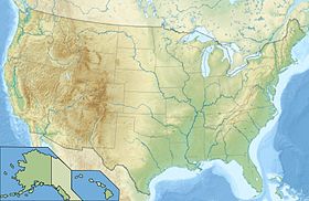
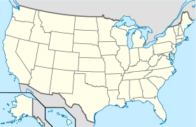
 États-Unis
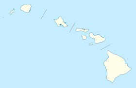
 Hawaï
Hawaï