Hoghmik
- Hoghmik
-
40° 55′ 00″ N 43° 49′ 00″ E / 40.916667, 43.816667
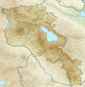
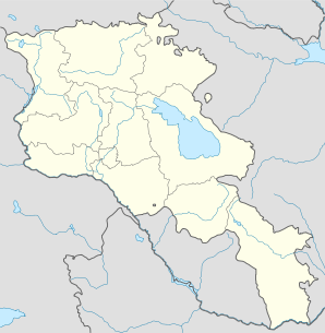
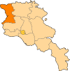
Hoghmik (en arménien Հողմիկ) est une communauté rurale du marz de Shirak en Arménie. En 2008, elle compte 487 habitants[2].
Notes et références
- ↑ (hy+en) Central Electoral Commission of the Republic of Armenia. Consulté le 24 janvier 2011.
Pour obtenir la page en anglais, cliquez sur le drapeau arménien en haut à gauche, et sélectionnez « English » ; ensuite, dans le menu vertical de gauche, cliquez sur « Local », sélectionnez le
marz pertinent, puis la dernière élection correspondant à la communauté voulue.
- ↑ (en) ArmStat, Marzes of the Republic of Armenia in figures, 2008, « RA Shirak Marz », 2008. Consulté le 22 octobre 2009.
Wikimedia Foundation.
2010.
Contenu soumis à la licence CC-BY-SA. Source : Article Hoghmik de Wikipédia en français (auteurs)
Regardez d'autres dictionnaires:
Hoghmik — Infobox Settlement official name =Hoghmik Հողմիկ native name = pushpin mapsize =150px subdivision type = Country subdivision name = Armenia subdivision type1 = Marz (Province) subdivision name1 =Shirak leader title = leader name = established… … Wikipedia
Hayk Hakobyan — is an Armenian historian. Discoveries In 1987 he and a group of archaeologists arrived in the village of Hoghmik in the Amasia region to study the area before the construction of the Kaps reservoir began. “The Hoghmik Complex was discovered by… … Wikipedia
Artik — Coordinates: 40°37′02″N 43°58′33″E / 40.61722°N 43.97583°E / 40.61722; 43.97583 … Wikipedia
Maralik — For the village in Azerbaijan, see Mərəlik. Maralik Մարալիկ Rublyovka quarter in Maralik … Wikipedia
Akhuryan — For the river of Armenia and Turkey, see Akhurian River. Akhuryan Ախուրյան community … Wikipedia
Pemzashen — Coordinates: 40°35′36″N 43°56′24″E / 40.59333°N 43.94°E / 40.59333; 43.94 … Wikipedia
Arapi, Armenia — Arapi Առափի community … Wikipedia
Beniamin — Բենիամին community … Wikipedia
Berdashen — For the village in Nagorno Karabakh, see Berdashen (Nagorno Karabakh). Berdashen Բերդաշեն community … Wikipedia
Dzorashen — For the other town named Dzorashen in Shirak Province, see Dzorashen (Maralik); for the town in Syunik Province, see Hartashen, Syunik. Coordinates: 40°55′53″N 44°04′09″E / 40.9313 … Wikipedia
 Arménie


