Helmsdale
- Helmsdale
-
58° 07′ N 3° 40′ W / 58.12, -3.66

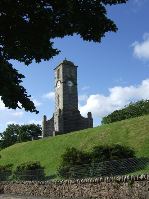
Tour de l'horloge d'Hemsdale et monument aux morts.
Helmsdale est un village situé dans les Highlands, en Écosse. Elle se trouve sur la côte est du Sutherland. Les plans de la ville actuelle sont dessinés en 1814 pour réinstaller les communautés qui ont été déplacées lors des Highland Clearances.
C'est un port de pêche est un estuaire sur la Helmsdale, et abritait à une époque la plus large flotte de bateau vouée à la pêche au hareng d'Europe. La rivière est également réputée pour la pêche.
Le village est située sur la route A9, à la jonction avec l'A897, et a une gare sur la Far North Line.
Wikimedia Foundation.
2010.
Contenu soumis à la licence CC-BY-SA. Source : Article Helmsdale de Wikipédia en français (auteurs)
Regardez d'autres dictionnaires:
Helmsdale — HELMSDALE, a fishing village, in the parish of Loth, county of Sutherland; 17 miles (N. E.) from Golspie; containing 526 inhabitants. This village is situated on the north bank of the river Helmsdale, near its influx into the Moray Frith. It… … A Topographical dictionary of Scotland
Helmsdale — Helmsdale, Fluß in der schottischen Grafschaft Sutherland, bildet die Seen Cuyn u. Baden u. mündet bei dem Schlosse H. in die Nordsee … Pierer's Universal-Lexikon
Helmsdale — Coordinates: 58°07′N 3°40′W / 58.12°N 3.66°W / 58.12; 3.66 … Wikipedia
Helmsdale — Sp Hèlmsdeilis Ap Helmsdale angliškai Ap Bun Ilidh geliškai (škotiškai) L slėnis ir g tė Jungtinėje Karalystėje (Škotijoje) … Pasaulio vietovardžiai. Internetinė duomenų bazė
Helmsdale railway station — UK stations name = Helmsdale other name= Bun illidh code = HMS caption = manager = First ScotRail locale = Helmsdale borough = Highland start = platforms = 2 stats = yes lowusage0405 = 3,513 lowusage0506 = 3,514 lowusage0607 = 4,456 years = 28… … Wikipedia
Far North Line — Overview System National Rail Status Operational … Wikipedia
A897 road — UK road routebox road= A897 length mi= length km= direction= South to north start= Helmsdale (gbmappingsmall|ND155601) destinations= end= Melvich (gbmappingsmall|NC898631) construction date= completion date= junctions= ukroadsmall|99… … Wikipedia
Duke of Sutherland's Railway — [v · d · … Wikipedia
Loth — LOTH, a parish, in the county of Sutherland, 11 miles (N. E. by N.) from Golspie; containing, with the villages of Helmsdale and Port Gower, 2526 inhabitants, of whom 1764 are in the rural districts. This place, the name of which is supposed… … A Topographical dictionary of Scotland
Far North Line — Inverness–Wick/Thurso Bahnhof Wick Streckenlänge: 270 km Spurweite: 1435 mm (Normalspur) Legende … Deutsch Wikipedia