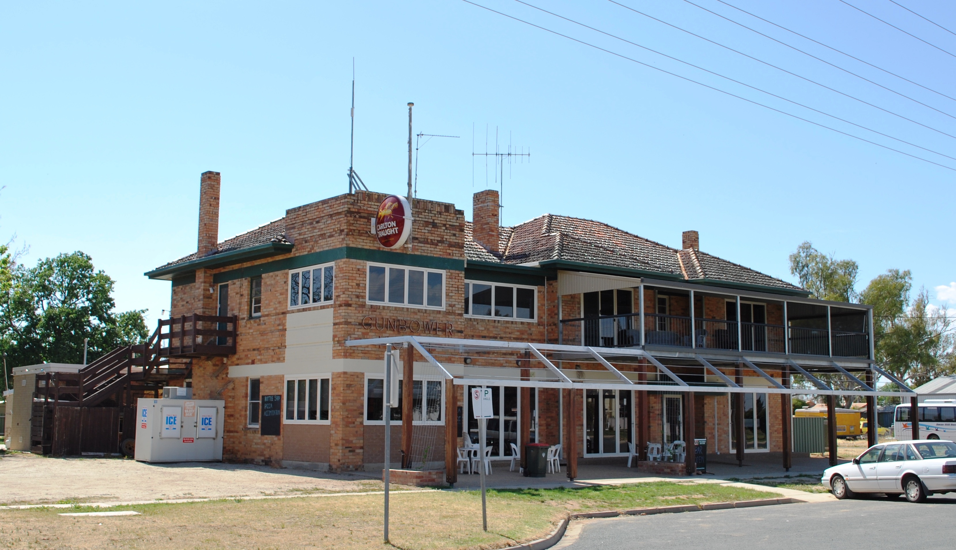
Gunbower
Contenu soumis à la licence CC-BY-SA. Source : Article Gunbower de Wikipédia en français (auteurs)
Regardez d'autres dictionnaires:
Gunbower-Nationalpark — Gunbower Nationalpark … Deutsch Wikipedia
County of Gunbower — Gunbower Victoria Location in Victoria Lands administrative divisions around Gunbower … Wikipedia
Electoral district of Gunbower — The Electoral district of Gunbower was an electoral district of the Victorian Legislative Assembly. Members for Gunboweree also*Parliaments of the Australian states and territories *List of members of the Victorian Legislative AssemblyExternal… … Wikipedia
Cohuna, Victoria — For the Central American palm tree see Attalea cohune. Cohuna Victoria Gunbower Creek … Wikipedia
Leitchville, Victoria — Infobox Australian Place | type = town name = Leitchville state = vic caption = lga = Shire of Gannawarra postcode = 3567 est = 1929 pop = 271 pop footnotes = elevation= maxtemp = mintemp = rainfall = stategov = Rodney fedgov = Mallee, Murray… … Wikipedia
Hat-trick — For other uses, see Hat Trick (disambiguation). A hat trick or hat trick in sport is the achievement of a positive feat three times during a game, or other achievements based on threes. The term was first used in 1858 in cricket to describe HH… … Wikipedia
Shire of Gannawarra — Infobox Australian Place | type = lga name = Shire of Gannawarra state = vic caption = Location in Victoria pop = 11,296 area = 3732 est = seat = Kerang mayor = Keith den Houting region = url = http://www.gannawarra.vic.gov.au/ stategov = Rodney … Wikipedia
County of Gladstone — Gladstone Victoria Location in Victoria Lands administrative divisions around Gladstone … Wikipedia
Gannawarra Shire — Lage des Gannawarra Shire in Victoria Gliederung … Deutsch Wikipedia
Shire of Gannawarra — Gannawarra Shire Lage des Gannawarra Shire in Victoria Basisdaten Bundesstaat: Victoria Hauptort: Kerang Fläche: 3.741 … Deutsch Wikipedia
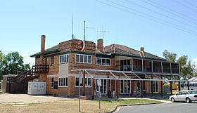 L'hôtel de Gunbower
 Australie