Ebeye
- Ebeye
-
8°46′49″N 167°44′14″E / 8.78028, 167.73722
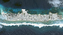
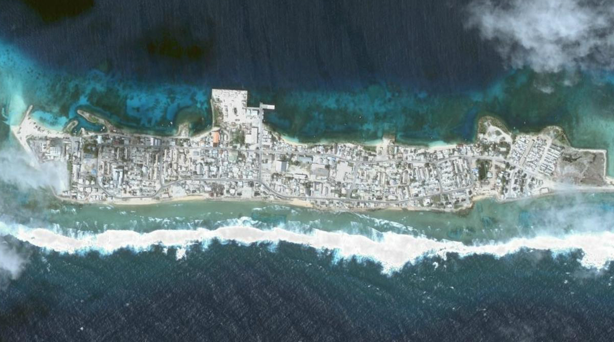
l'île d'Ebeye, vue prise par la NASA
Ebeye est l'ile la plus peuplée de l'atoll Kwajalein des Îles Marshall. 12 000 habitants[1] vivent sur une surface d'environ 32 hectares (c'est-à-dire un cinquième de la population totale du pays). Ebeye faisait partie du protectorat allemand de la Nouvelle-Guinée allemande de 1884 à 1919. Certains habitants d'Ebeye sont des victimes ou des descendants de victimes des radiations de l'essai nucléaire Castle Bravo, la bombe H la plus puissante jusqu'ici testée par les États-Unis le 1er mars 1954. Les autorités américaines ont évacué Rongelap, et la plupart se sont installés à Ebeye.
Références
Wikimedia Foundation.
2010.
Contenu soumis à la licence CC-BY-SA. Source : Article Ebeye de Wikipédia en français (auteurs)
Regardez d'autres dictionnaires:
Ebeye — is the most populous island of Kwajalein Atoll in the Marshall Islands, as well as the center for Marshallese culture in the Ralik Chain of the archipelago. Settled on only 80 acres (360,000 m²) of land, it has a population of more than 12,000.… … Wikipedia
Ebeye — Vorlage:Infobox Insel/Wartung/Höhe fehlt Ebeye Gewässer Pazifischer Ozean … Deutsch Wikipedia
Kwajalein — (RMI). The southernmost and largest island in the atoll is named Kwajalein Island.The atoll lies in the Ralik Chain, 2,100 nautical miles (3900 km) southwest of Honolulu, Hawaii at coord|8|43|N|167|44|E|. Geography Kwajalein is one of the world s … Wikipedia
Marshall Islands — Marshallese / sheuh leez , lees /, n., pl. ese, adj. n.pl. a group of 34 atolls in the W central Pacific: formerly a part of the Trust Territory of the Pacific Islands; since 1986 a self governing area associated with the U.S. 60,652; 70 sq. mi.… … Universalium
Kwajalein — Vorlage:Infobox Insel/Wartung/Höhe fehlt Kwajalein NASA Bild von Kwajalein Gewässer Pazifischer Ozean Archipel … Deutsch Wikipedia
Kwajalein-Atoll — Kwajalein NASA Bild von Kwajalein Gewässer Pazifischer Ozean Archipel Anza … Deutsch Wikipedia
MH-KWA — Kwajalein NASA Bild von Kwajalein Gewässer Pazifischer Ozean Archipel Anza … Deutsch Wikipedia
Marshall Islands — <p></p> <p></p> Introduction ::Marshall Islands <p></p> Background: <p></p> After almost four decades under US administration as the easternmost part of the UN Trust Territory of the Pacific Islands … The World Factbook
Communications in the Marshall Islands — This article is about communications systems in the Marshall Islands. In 2010, the Majuro and Kwajalein Atoll were connected to the Internet using the HANTRU 1 undersea cable to provide high speed bandwidth. Faster Internet service was rolled out … Wikipedia
Economy of the Marshall Islands — The government of the Marshall Islands is the largest employer, employing 30.6% of the work force, down by 3.4% since 1988. GDP is derived mainly from payments made by the United States under the terms of the Compact of Free Association. Direct U … Wikipedia