Doriganj
- Doriganj
-
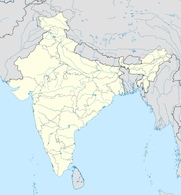
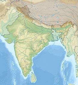
Doriganj est une ville indienne, du district de Saran, dans l'État du Bihar.
Géographie
Cette section est vide, insuffisamment détaillée ou incomplète.
Votre aide est la bienvenue !
Économie
Cette section est vide, insuffisamment détaillée ou incomplète.
Votre aide est la bienvenue !
Histoire
Cette section est vide, insuffisamment détaillée ou incomplète.
Votre aide est la bienvenue !
Lieux et monuments
Cette section est vide, insuffisamment détaillée ou incomplète.
Votre aide est la bienvenue !
Catégories :
- Capitale d'État ou de territoire de l'Inde
- Ville du Bihar
Wikimedia Foundation.
2010.
Contenu soumis à la licence CC-BY-SA. Source : Article Doriganj de Wikipédia en français (auteurs)
Regardez d'autres dictionnaires:
Ghaghara River — Not to be confused with Ghaggar River. Coordinates: 25°45′11″N 84°39′59″E / 25.75306°N 84.66639°E / 25.75306; 84.66639 … Wikipedia
Chhapra — city … Wikipedia
Ghaghara — / Karnali Lage des GhagharaVorlage:Infobox Fluss/KARTE fehlt DatenVorlage:Infobox Fluss/GKZ feh … Deutsch Wikipedia
Karnali (rivière) — 25° 45′ 11″ N 84° 39′ 59″ E / 25.7531, 84.6664 … Wikipédia en Français
Disasters — ▪ 2009 Introduction Aviation January 23, Poland. A Spanish built CASA transport plane carrying members of the Polish air force home from a conference on flight safety in Warsaw crashes near the town of Miroslawiec; all 20 aboard are killed … Universalium
 Inde
Inde


