Derrinallum
Contenu soumis à la licence CC-BY-SA. Source : Article Derrinallum de Wikipédia en français (auteurs)
Regardez d'autres dictionnaires:
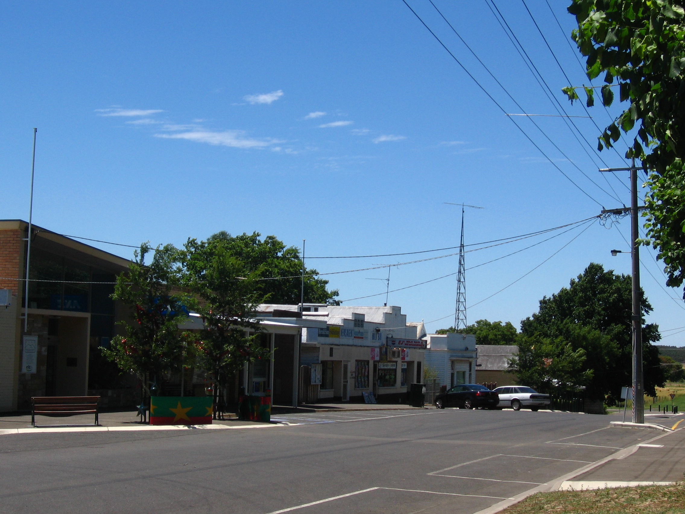
Derrinallum, Victoria — Derrinallum Victoria Avenue on main street … Wikipedia
Derrinallum P12 College — is a co educational state P 12 school in Derrinallum, Victoria. The college has approximately 85 students from Prep to Year 12. Derrinallum P12 College is set in 5 hectares (12.4 acres) of land, near the Hamilton Highway. The College… … Wikipedia
Mininera & District Football League — The Mininera District Football League is based in South western Victoria, with clubs located east of Hamilton, south of Ararat and west of Colac. The league absorbed several teams from the defunct Ararat District Football Association in 2000.… … Wikipedia
Mount Elephant — viewed from Derrinallum. Oct 2010 Mount Elephant is a 240 m high conical breached scoria cone formed by an Extinct volcano, located 1 km from the town of Derrinallum in southwestern Victoria, Australia. It is a prominent landmark. The… … Wikipedia
Lismore, Victoria — Infobox Australian Place | type = town name = Lismore state = vic caption = Lismore Hotel lga = Corangamite Shire postcode = 3324 est = pop = 513 (2006)Census 2006 AUS | id = SSC26019 | name = Lismore (State Suburb) | accessdate = 2007 10 01 |… … Wikipedia
P12 — or P–12 may refer to: Contents 1 Cryptography 2 Education 3 Transportation … Wikipedia
Corangamite Shire — Victoria Location in Victoria Populatio … Wikipedia
Western District — The Western District is a region of Australia located in the south west corner of the state of Victoria (Australia), extending to Ballarat in the east and as far north as Ararat where it borders the Wimmera region. To the south, the district… … Wikipedia
Hamilton Highway — Infobox Australian Road road name = Hamilton Highway type = route route route photo = caption = Formerly length = 235 direction = West East start = finish = est = through = Penshurst, Mortlake, Lismore, Cressy, Fyansford route = exits = The… … Wikipedia
Mortlake, Victoria — Mortlake Victoria … Wikipedia
 La grand-rue de Derrinallum
 Australie