Chislet (village)
- Chislet (village)
-
51°19′59″N 1°11′59″E / 51.33306, 1.19972

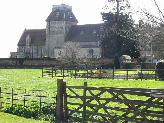
l'Eglise de Sainte-Marie Vierge, Chislet village
Chislet est un village situé dans le district de Canterbury.
Histoire
Les travaux de la la mine de charbon ont débuté en 1914, la mine a commence a produire en 1918. La houillère à fermée le 25 Juillet 1969, Chislet avait un moulin à vent qui a brulé en 2005.
Wikimedia Foundation.
2010.
Contenu soumis à la licence CC-BY-SA. Source : Article Chislet (village) de Wikipédia en français (auteurs)
Regardez d'autres dictionnaires:
Chislet — Coordinates: 51°20′11″N 1°11′28″E / 51.336330°N 1.191000°E / 51.336330; 1.191000 … Wikipedia
Chislet — est une paroisse rurale tentaculaire situé dans le nord est du comté du Kent entre la ville de Canterbury et l île de Thanet. Il est également le nom d un village situé dans la paroisse. La paroisse de Chislet comprend les villages: Boyden Gate… … Wikipédia en Français
Chislett — Recorded as Chislet, Chislett, Chiselett, and possibly others, this is an English late medieval locational surname. It originates from the small village and parish of Chislet, in the county of Kent, near to the city of Canterbury. The village is… … Surnames reference
Marshside, Kent — Coordinates: 51°21′03″N 1°11′35″E / 51.3508°N 1.1931°E / 51.3508; 1.1931 … Wikipedia
Hersden — infobox UK place country = England official name= Hersden latitude= 51.3142 longitude= 1.1637 population = 6257 [ [http://www.neighbourhood.statistics.gov.uk/dissemination/LeadTableView.do?a=3 b=795420 c=CT3+4EY d=16 e=15 g=457311… … Wikipedia
List of schools in Kent — List of primary schools, middle schools, secondary schools, special schools, further education colleges and universities in the ceremonial county of Kent, England. [cite web | title = UK Schools Colleges Database | publisher = Schools Web… … Wikipedia
East Kent Light Railway — The East Kent Light Railway was part of the Colonel Stephens group of cheaply built rural light railways in England. Holman Fred Stephens was engineer from its inception, subsequently becoming director and manager. The line ran from Shepherdswell … Wikipedia
City of Canterbury — For the settlement within the City of Canterbury, see Canterbury. For the local government area in Australia, see City of Canterbury (New South Wales). City of Canterbury Non metropolitan district, Borough, City … Wikipedia
Chartham — Coordinates: 51°15′18″N 1°01′14″E / 51.255°N 1.0205°E / 51.255; 1.0205 … Wikipedia
Chartham Hatch — Coordinates: 51°15′18″N 1°01′14″E / 51.255°N 1.0205°E / 51.255; 1.0205 … Wikipedia